
What is recorded here
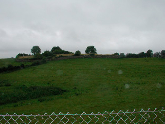
Situated on a prominent rise, in gently undulating pasture with good views to SE, yet restricted elsewhere. Depicted on the 1837 ed. OS 6-inch map as a subcircular-shaped earthwork indicated with a perforated line and planted, suggestive of a tree-ring. Depicted on the revised 1913 ed. OS 25-inch map as an irregular pennanular-shaped earthwork, open to E. Monument described in 1980 as a roughly oval-shaped area (dims. 49m NW-SE; 41m NE-SW) enclosed by a scarp and an external fosse. The scarp is well preserved from S-W-N-NE but it is low and faint from NE-E-SSE where it is only recognisable as a gentle rise in ground level. The remains of a narrow and fairly shallow fosse survive from SSW-SW-W-WNW. There is no sign of an entrance but it may have been at E where there is a natural slope upwards toward the perimeter. The interior rises quite sharply from the perimeter towards the centre, where there is a roughly level area. There are no features visible within. Outline of levelled monument is barely visible as a roughly oval-shaped cropmark on Digital Globe aerial photography. It is possible that this may have been a ringfort that was reused as tree-ring in the post-1700 period.
Compiled by: Alison McQueen, Vera Rahilly and Caimin O’Brien
Date of upload: 10 July 2019
The monument record does not grant public access. Check the route and ask the landowner before entering private land.
- What survives
- Recorded monument
Places near here
 graveyard/cemeterygraveyard/cemetery · 449 yd
 Church (in Ruins)Church · 454 yd
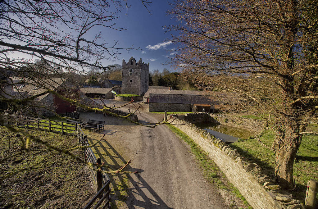 CastleCastle, unclassified · 1260 yd
 Enclosure in Joristown LowerEnclosure · 1.3 mi
 OutlinedFairy fort / earthen ringfort · 1.5 mi
 Rathwire Moat & CastleCastle, motte and bailey · 2.2 mi
 ScregganWood · 3.1 mi
 GinkgoGinkgo · 4.5 mi
 Croppies' GraveMemorial · 6.8 mi
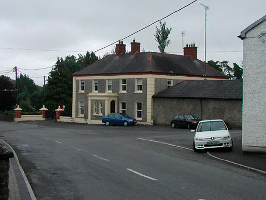 Riverview Househouse · 537 yd
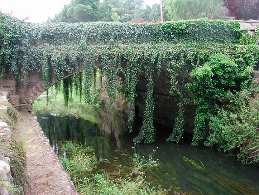 bridgebridge · 550 yd
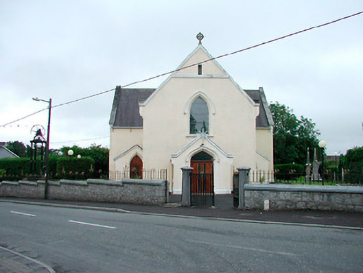 Saint Brigid's Catholic Churchchurch/chapel · 561 yd
Other information
Photo: Credit not shown in the picture search · Rights wording not checked; contact us if this picture should be removed