What is recorded here
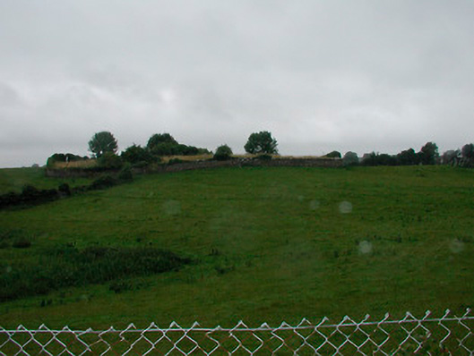
Castle Field behind Wardenstown House has never given up its shape, though maps, soil and memory have all been asked to show it. The name appears on an 1804 estate map, the house stands above the hidden place, and no castle ridge or cut can be found when people look. What is missing is not nothing; it is a castle that refused to be seen, leaving only a field and a warning that some places must be invented before they can be known.
In a field to rear of an 18th/19th century walled garden associated with Wardenstown House which was described by the National Inventory of Architectural Heritage as a 'Detached five-bay two-storey (over basement to rear) country house, built c.1810 possibly incorporating the fabric of an earlier house c.1740, with modern single-storey over basement extensions to the rear (east)'(www.buildingsofireland.ie). A field annotated ‘Castle Field’ on Lanesboro estate map of 1804 suggests a castle in this area, but no such structure is depicted (NLI, MS 21 F. 47 / (034) ). No castle site depicted on the 1837 ed. OS 6-inch map or the revised 1913 ed. OS 25-inch map. Described in 1983 as no surface remains visible in area known as the 'Castle Field'. No cropmark of any castle site is visible today on Digital Globe aerial photography. The precise location of this castle has not been identified. The present Wardenstown House could have been built on the site of an earlier castle, however no medieval fabric has been identified in this house or in the outbuildings of the yard belonging to the house. No castle in depicted in this townland on the 1655 Down Survey map of Farbill Barony (NLI MS 723-4).
Compiled by Alison McQueen, Vera Rahilly and Caimin O’Brien.
Date of upload: 09 July 2019
The monument record does not grant public access. Check the route and ask the landowner before entering private land.
- What survives
- Recorded monument
Places near here
 Wardenstown Housecountry house · 333 yd
 bridgebridge · 1040 yd
 IndicatedFairy fort / earthen ringfort · 1260 yd
 OutlinedFairy fort / earthen ringfort · 1.4 mi
 Rathwire Moat & CastleCastle, motte and bailey · 1.9 mi
 Bawn in Kerinstown and Balrowan (rowley)Bawn · 3.1 mi
 ScregganWood · 3.7 mi
 Abandoned Kinnegad CanalWood · 4.9 mi
 Croppies' GraveMemorial · 6.4 mi
 Grange Beg Housedovecote/pigeon house/aviary · 1220 yd
 Church (in Ruins)Church · 1615 yd
 graveyard/cemeterygraveyard/cemetery · 1616 yd
Other information
Photo: Credit not shown in the picture search · Rights wording not checked; contact us if this picture should be removed