What is recorded here
Graveyard on irregular plan having a variety of cut stone markers dating from c.1700 to c.1920. No longer in use. Ruins of a single-storey chapel on rectangular-plan to the centre, now overgrown and collapsed. Surrounded by rubble limestone boundary wall. Main entrance gate to the east side, comprising a pair of rubble limestone gate piers (on circular-plan) supporting a wrought-iron flat bar gate. Rubble limestone gate piers (on circular-plan) supporting a wrought-iron flat bar gate to the east gives access to site from the road. Pier to the south now collapsed. Located to the southeast of Raharney.
A picturesque graveyard, which enhances the landscape to the southeast of Raharney. The irregular shape of this graveyard hints at an early date. This graveyard contains a fine collection of both upstanding and recumbent grave markers, dating from the early eighteenth-century to the early-twentieth, many of which exhibit high quality craftsmanship. The date of the church to the centre of this graveyard is not discernible but its small size and rough form suggests that it is quite early, perhaps pre-1700AD in date. The attractive rubble stone boundary wall and the two vernacular gateways add to the setting and complete this atmospheric composition.
This does not grant access. Most recorded buildings are privately owned; view them only from public ground unless the owner allows entry.
Places near here
 Church (in Ruins)Church · 11 yd
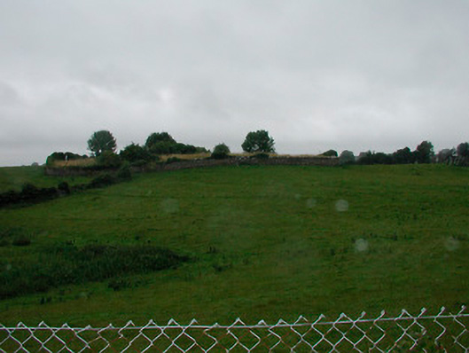
 IndicatedFairy fort / earthen ringfort · 449 yd
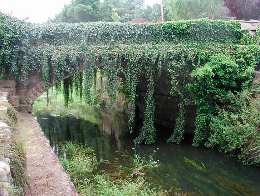 bridgebridge · 477 yd
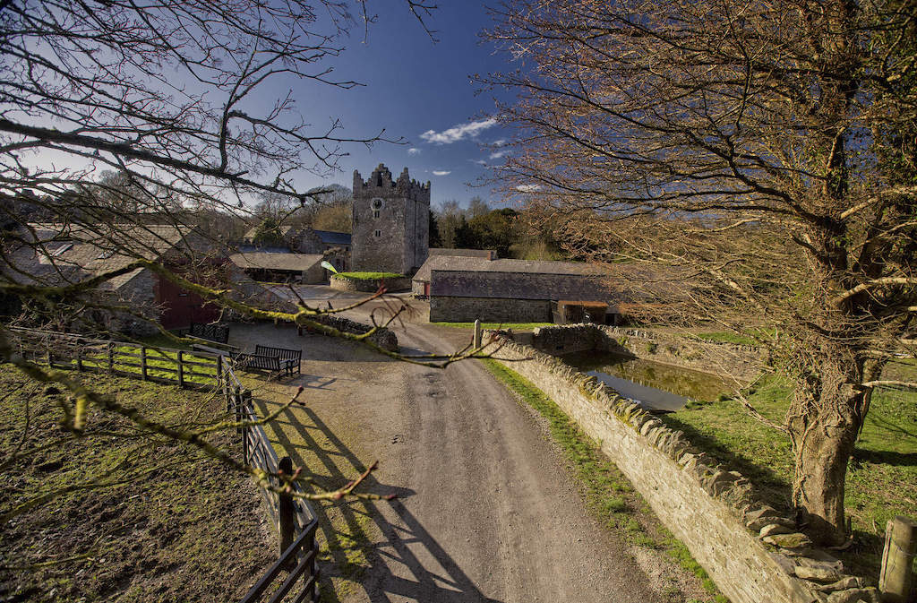 CastleCastle, unclassified · 1616 yd
 Enclosure in Joristown LowerEnclosure · 1.2 mi
 Rathwire Moat & CastleCastle, motte and bailey · 2.5 mi
 ScregganWood · 2.9 mi
 GinkgoGinkgo · 4.6 mi
 Croppies' GraveMemorial · 6.8 mi
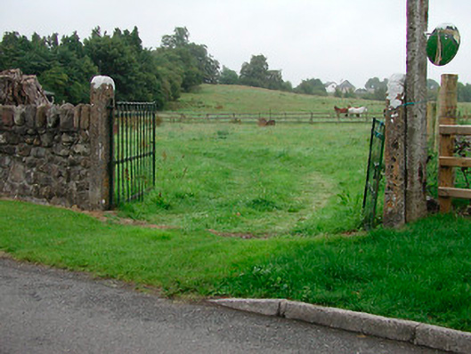 gates/railings/wallsgates/railings/walls · 500 yd
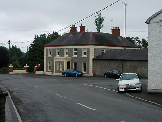 Riverview Househouse · 501 yd
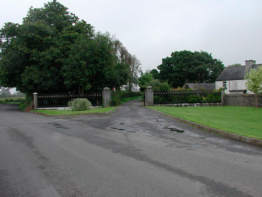 Grange More Housegates/railings/walls · 568 yd
Other information
Photo: National Inventory of Architectural Heritage · Website use allowed for educational or private purposes with source credit