
What is recorded here
Situated on a slight rise, in relatively low-lying wet pasture. Depicted on the revised 1913 ed. OS 25-inch map as a small circular-shaped earthwork (approx. diam. 14m). Monument described in 1970 as an unusually small irregular-shaped area enclosed by an earth and stone bank with traces of an external fosse. The bank is high and steep and has almost been reduced to a scarp. A large stone protrudes from the base of the bank at SE. There is a gap (Wth at top 2.7m; basal Wth 1.2m) in the inner bank and a causeway (Wth at top 2m; overall Wth 5.4m; H 0.4m) over the fosse, at ESE. The interior has a gentle ENE-facing slope and has several slight, natural depressions. Monument is visible today as a tree-lined earthwork on Digital Globe aerial photography.
Compiled by: Alison McQueen, Vera Rahilly and Caimin O’Brien
Date of upload: 05 July 2019
The monument record does not grant public access. Check the route and ask the landowner before entering private land.
- What survives
- Recorded monument
Places near here
 Craddenstown Lodgehouse · 552 yd
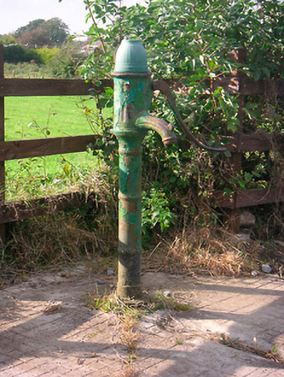 water pumpwater pump · 722 yd
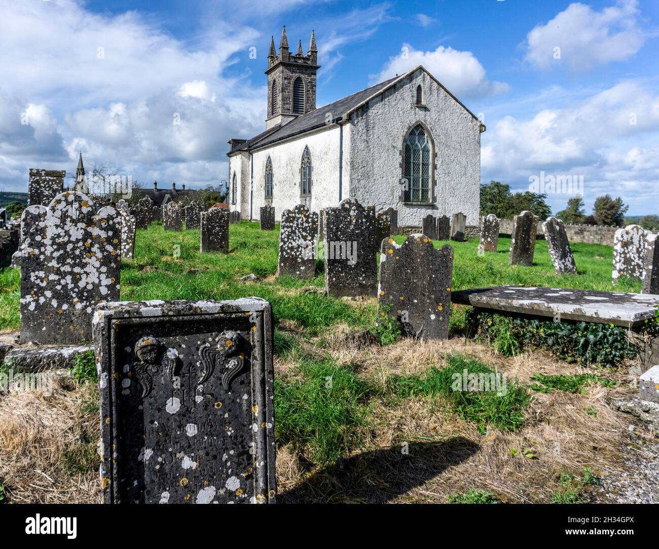 St. Patricks or Scardan WellHoly well · 1.2 mi
 Enclosure in CorbetstownEnclosure · 1.3 mi
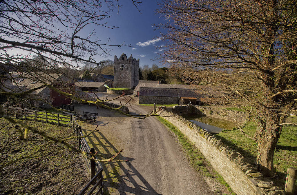 CastleCastle, unclassified · 2.0 mi
 Killagh Ho. & CastleCastle, tower house · 2.2 mi
 ScregganWood · 2.9 mi
 GinkgoGinkgo · 3.4 mi
 Croppies' GraveMemorial · 8.1 mi
 Craddenstown Housecountry house · 1195 yd
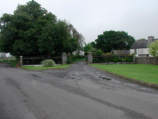 Grange More Housegates/railings/walls · 1630 yd
 gates/railings/wallsgates/railings/walls · 1698 yd
Other information
Photo: Credit not shown in the picture search · Rights wording not checked; contact us if this picture should be removed