
What is recorded here
Situated on the demesne lands of Corbetstown House which is located 130m to NW. Partial outline of roughly circular shaped area (approx. diam. 37m) defined by a bank and partial remains of an external fosse visible on Digital Globe aerial photography.
Compiled by: Caimin O'Brien based on details provided by Alison McQueen and Vera Rahilly
Date of upload: 11 June 2019
A local fairy fort (ringfort/rath); wider significance not recorded.
The monument record does not grant public access. Check the route and ask the landowner before entering private land.
- What survives
- Recorded monument
Places near here
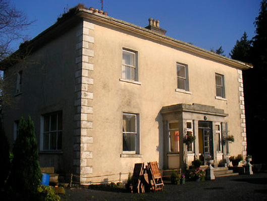 Corbetstown Househouse · 150 yd
 Kilpatrick ChurchChurch · 702 yd
 Ecclesiastical enclosure in CorbetstownEcclesiastical enclosure · 711 yd
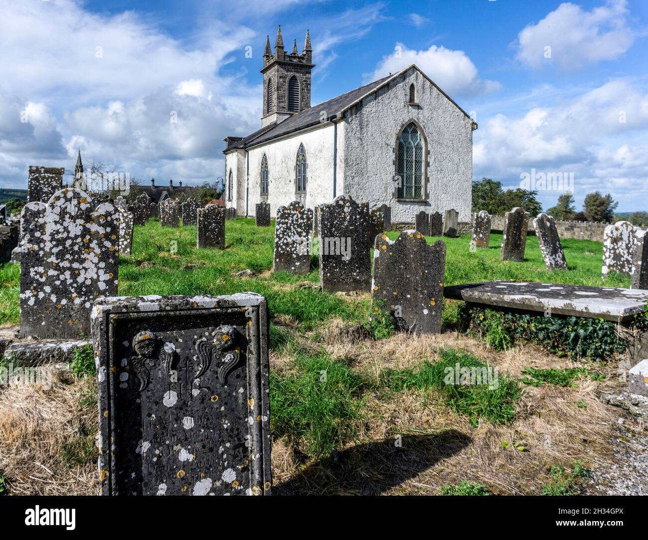 St. Patricks or Scardan WellHoly well · 924 yd
 CastleCastle, motte · 1.0 mi
 Killagh Ho. & CastleCastle, tower house · 1.4 mi
 GinkgoGinkgo · 2.3 mi
 ScregganWood · 4.1 mi
 Croppies' GraveMemorial · 9.1 mi
 Kells HillMountain / peak · 10.0 mi
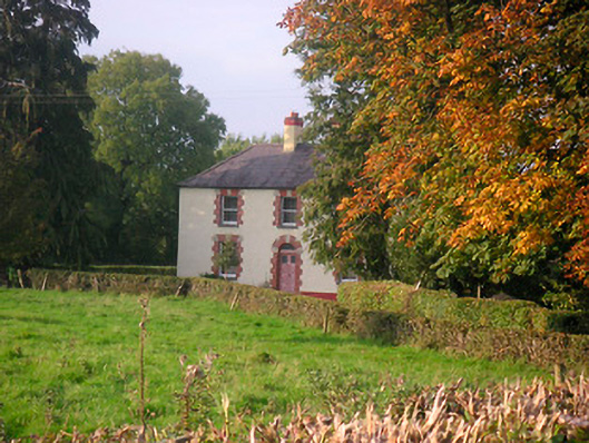 Scarden Househouse · 904 yd
 IndicatedBuilding · 1068 yd
Other information
Photo: Credit not shown in the picture search · Rights wording not checked; contact us if this picture should be removed