What is recorded here
Situated on a N-facing slope, in undulating pasture. St Patrick's or Scardan holy well (WM020-056----) lies c. 150m to SW. Depicted on the 1837 ed. OS 6-inch map as a rectangular-shaped building aligned on an E-W axis. Annotated 'Ruin' on the 1837 OS Fair Plan map. According to local folklore this area known as…
Read the whole record
From the National Monuments Service (Archaeological Survey of Ireland) record WM020-055
Places near here
Photo credits
- National Inventory of Architectural Heritage
- Maker not stated on source page, www.dreamstime.com
- Maker not stated on source page, www.pinterest.com
- Maker not stated on source page, tr.pinterest.com
- Maker not stated on source page, commons.wikimedia.org
- Maker not stated on source page, monumentalireland.ie
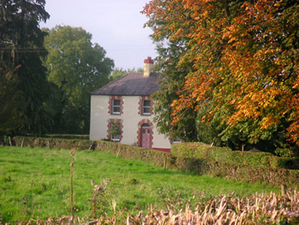 Scarden HouseHouse · 879 yd
Explorer Tom Scarden House has a retirement plan that involves turning into a very fancy mushroom house and letting the moss do the…
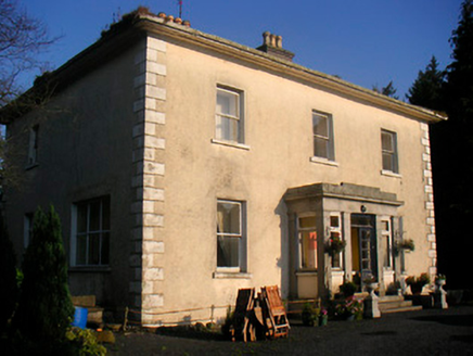 Corbetstown HouseHouse · 1010 yd
Explorer Tom Corbetstown House was built after a bargain where the architect got paid in pure confidence and granite. That Doric…
 Craddenstown HouseCountry house · 1533 yd
Explorer Tom Craddenstown House claims Queen Victoria visited in secret to check on her potato supplies and nobody can disprove it.…
 Fairy fort / ringfort in ClonreaghFairy fort / ringfort · 1539 yd
Explorer Tom Fairy fort / ringfort in Clonreagh is hiding a treasure that is definitely a biscuit tin and nothing more exciting.…
 CastleCastle, motte and bailey · 1738 yd
Explorer Tom They say there is a hidden tunnel from Killagh Castle straight to the pub downstairs, but nobody wants to check because…
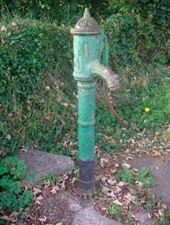 water pump1.0 mi
Explorer Tom Water pump in Mylestown has a very specific least favourite visitor: a man who once tried to use it as a seat while on…
 Fairy fort / earthen ringfort in SionhillFairy fort / earthen ringfort · 1.0 mi
Explorer Tom This fairy fort in Sionhill would order a massive chipper and no ketchup, obviously. It’s sitting right next to the…
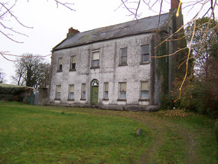 Killagh HouseHouse · 1.1 mi
Explorer Tom Killagh House is incredibly proud of its three-spoke fanlight, which looks like a bicycle wheel had a spiritual…
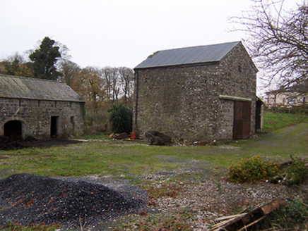 mill (water)1.1 mi
Explorer Tom Mill in Killagh has one favourite song: 'Whistle Stop,' because that’s all it ever heard back when the trains were…
 Earthwork in Higginstown (farbill By.)Earthwork · 1.2 mi
Explorer Tom Earthwork in Higginstown hates visitors who bring dogs because they dig up its secrets. It’s levelled now, just a…
 Craddenstown LodgeHouse · 1.3 mi
Explorer Tom Craddenstown Lodge in Craddanstown has a feud between two families over who owns the view from the best window seat.…
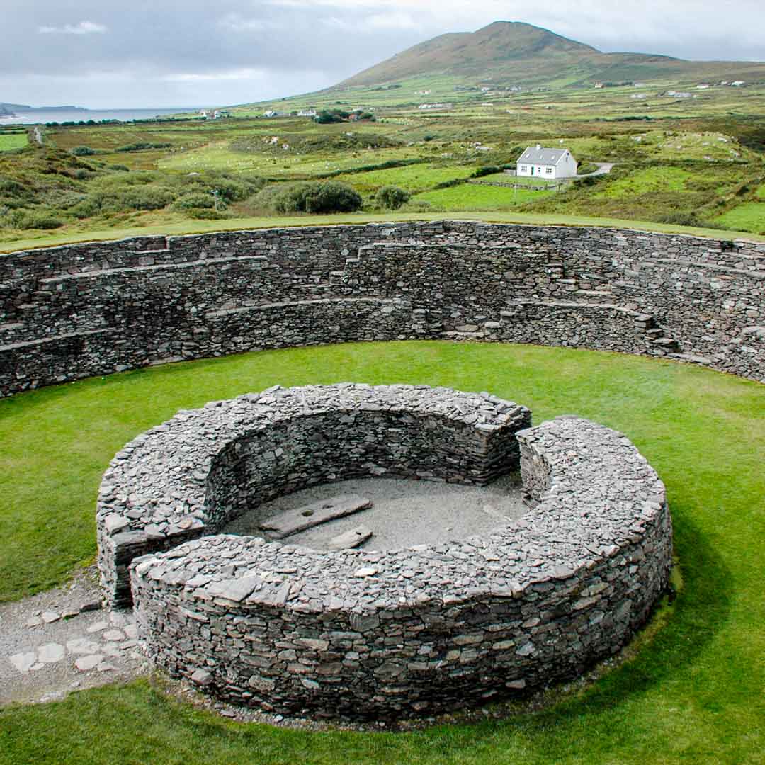 Fairy fort / ringfort in ChanonstownFairy fort / ringfort · 1.4 mi
Explorer Tom Fairy fort / ringfort in Chanonstown would write 'looking for a stable partner who won’t get levelled by the next…
More historic places in County Westmeath · All of County Westmeath

What do you know about this place?Tap to add a comment or ask a question