What is recorded here
Killagh castle is a tree-covered motte and bailey in County Westmeath, Ireland. Its steep-sided mound still rises above gently undulating pasture, with a wide fosse and outer bank marking the edge of a defensible home. The view from the top reaches in every direction, past the nearby church and graveyard toward Killagh tower house, suggesting a place where life, worship and defence were kept within a short walk of one another.
Situated on a slight rise, in gently undulating pasture, with excellent views from the top of the motte, in all directions. Church and graveyard (WM020-025----/-025001-) lie c. 60m to NE and Killagh tower house lies c. 135m to NW. Annotated 'Moat' on the 1837 OS Fair Plan map where it is depicted as an oval-shaped tree-planted earthwork. Depicted on the revised 1913 ed. OS 25-inch map as a roughly circular-shaped mound which is enclosed by a wide fosse from SE-S-W-NW.
Monument described in 1970 as a roughly circular-shaped, high, steep-sided flat-topped earthen mound the base of which is enclosed by a fosse and the remains of an external bank. A wide, deep fosse and an outer bank are visible from SE-S-WSW. The bank has a modern gap at S and is very slight from SW-WSW. A modern bank running ESE-WNW is built against the outer face of the bank from SSE-S-SSW. The bank veers away from the fosse at SE to enclose a larger area, which may have been a bailey, although there is little evidence of such surviving. Monument is visible today as a tree-covered earthwork on Digital Globe aerial photography.
See attached profile of monument surveyed and drawn by the ASI.
Compiled by: Alison McQueen, Vera Rahilly and Caimin O’Brien
Date of upload: 06 June 2019
The monument record does not grant public access. Check the route and ask the landowner before entering private land.
- What survives
- Recorded monument
Places near here
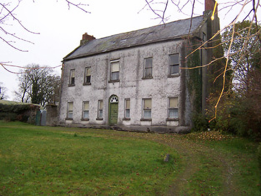 Killagh Househouse · 163 yd
 Killagh Ho. & CastleCastle, tower house · 177 yd
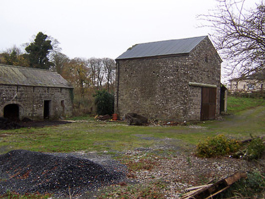 mill (water)mill (water) · 224 yd
 DardistownCastle, unclassified · 1202 yd
 Tober LuibeHoly well · 1600 yd
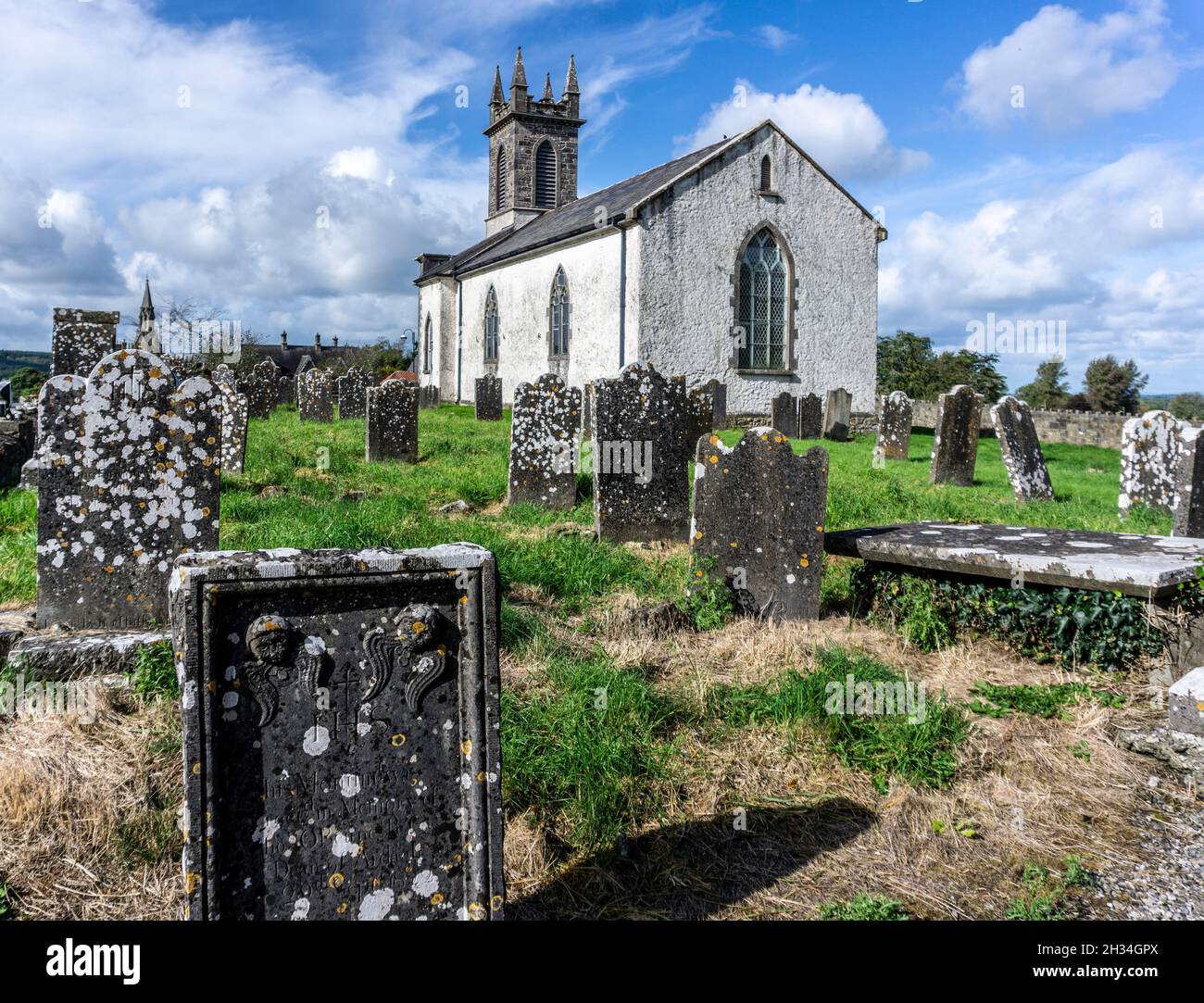 St. Patricks or Scardan WellHoly well · 1746 yd
 GinkgoGinkgo · 1.5 mi
 ScregganWood · 4.2 mi
 Kells HillMountain / peak · 8.6 mi
 Seafin HillMountain / peak · 9.5 mi
 Croppies' GraveMemorial · 10 mi
 Church in DardistownChurch · 1471 yd