
What is recorded here
The precise location of Dardistown Castle has not been identified. The castle is depicted on the 1655 Down Survey map of Killagh parish where it is shown standing on the lands of Sir Thomas Nugent who is listed as an 'Irish Papist' (NLI, MS 723-4). The terrier of the Down Survey parish map recorded that in Dardistown there 'is a castle in repaire with diverse cabbins’ (ibid.). Adams (1959, 57) suggested that an 'old mote' located near Dardistown House marked the site of this castle. This 'old mote' was described by the ASI in 1977 'a natural ridge which has a bank all round. Atop of this is what appears to be an artificial structure called a ‘cairn’ (ASI field report 16/05/1977).
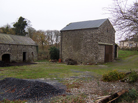
The castle is not depicted on any edition of the OS 6-inch maps. There is no evidence to suggest that Dardistown House was built on the site of the medieval castle. In 1983 the area around Dardistown House was visited and the surveyor recorded that there was no trace of any castle at this location and that 19th century farm buildings were visible around the farmyard marked as Dardistown House. The owner of Dardistown House at the time knew of no local tradition regarding Dardistown Castle. There was no surface remains of the 'old mote' which appears to have been levelled.
Compiled by: Caimin O'Brien
Date of upload: 5 October 2016
Dardistown Castle was held by Sir Thomas Nugent in the mid-17th century, as recorded on the 1655 Down Survey map. It is remembered as part of the historical landscape of Killagh parish, reflecting the presence of Anglo-Irish landowners in the region during the post-Tudor period.
The monument record does not grant public access. Check the route and ask the landowner before entering private land.
- What survives
- Recorded monument
Places near here
 Church in DardistownChurch · 272 yd
 Tober LuibeHoly well · 441 yd
 mill (water)mill (water) · 997 yd
 Killagh Ho. & CastleCastle, tower house · 1025 yd
 CastleCastle, unclassified · 1103 yd
 Enclosure in BallygillinEnclosure · 1244 yd
 GinkgoGinkgo · 1638 yd
 ScregganWood · 4.8 mi
 Kells HillMountain / peak · 8.2 mi
 Seafin HillMountain / peak · 9.0 mi
 Croppies' GraveMemorial · 11 mi
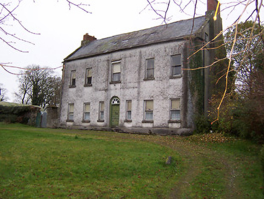 Killagh Househouse · 1040 yd
Other information
Photo: Credit not shown in the picture search · Rights wording not checked; contact us if this picture should be removed