
What is recorded here
Situated on a low rounded rise of ground in grassland. Referred to locally as ‘Churchyard Hill’ by the land-owner. No visible trace of a monument at this location.
Compiled by: Frank Coyne and Caimin O'Brien
Date of upload: 24 July 2018
This remains an important historical record, but the official description says the monument is no longer visible or has been destroyed. The monument record does not grant public access. Check the route and ask the landowner before entering private land.
- What survives
- No visible remains or recorded as destroyed
Places near here
 DardistownCastle, unclassified · 271 yd
 Tober LuibeHoly well · 276 yd
 Enclosure in BallygillinEnclosure · 977 yd
 CastleCastle, unclassified · 995 yd
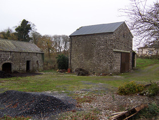 mill (water)mill (water) · 1268 yd
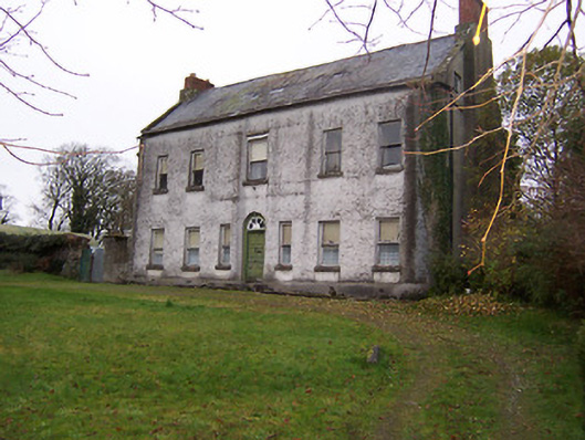 Killagh Househouse · 1310 yd
 GinkgoGinkgo · 1400 yd
 ScregganWood · 5.0 mi
 Kells HillMountain / peak · 8.2 mi
 Seafin HillMountain / peak · 8.9 mi
 Croppies' GraveMemorial · 11 mi
 Castle in ruinsCastle, unclassified · 1289 yd
Other information
Photo: Credit not shown in the picture search · Rights wording not checked; contact us if this picture should be removed