
What is recorded here
Castle, unclassified in Hiskinstown, County Westmeath, Ireland. A low earthen bank still outlines the vanished castle beside an older ringfort, suggesting layered occupation rather than a single event. The land may have supported both defensive and domestic life, though no intact chamber or named resident survives in the facts provided.
Situated in well drained grassland with ringfort (WM013-096---) 50m to W. Possible site of levelled castle of Hiskinstown. According to Adams (1959, 59) a sub-rectangular-shaped enclosure defined by a low earthen bank marks the site of the levelled castle. This enclosure appears to form part of a wider complex of earthworks that are visible on Digital Globe aerial photograph taken November 2011.
Compiled by: Frank Coyne and Caimin O'Brien
Date of upload: 10 April 2018
The monument record does not grant public access. Check the route and ask the landowner before entering private land.
- What survives
- Recorded monument
Places near here
 Tober LuibeHoly well · 719 yd
 Castle in ruinsCastle, unclassified · 898 yd
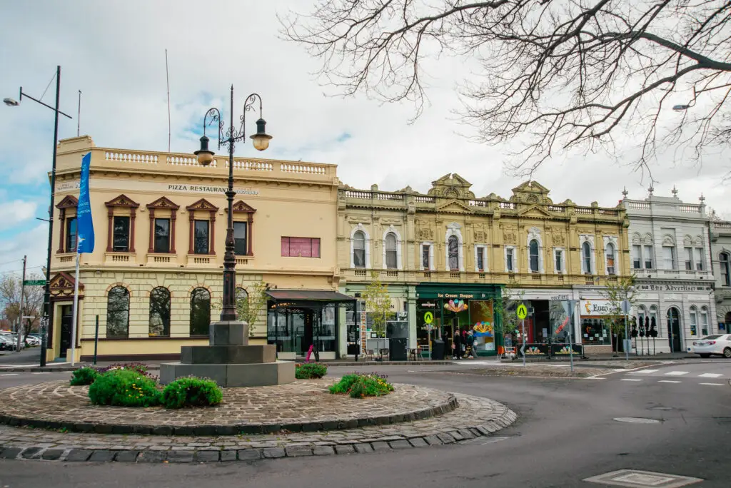 Bawn in Williamstown (briscoe)Bawn · 936 yd
 Church in DardistownChurch · 995 yd
 Enclosure in BallygillinEnclosure · 1002 yd
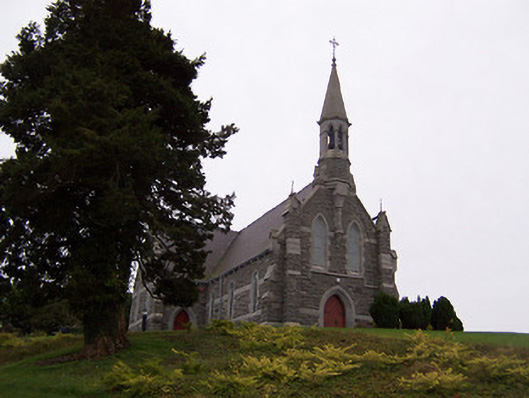 Saint Livinius's Catholic Churchchurch/chapel · 1210 yd
 GinkgoGinkgo · 1.1 mi
 The FurzeForest · 5.0 mi
 Kells HillMountain / peak · 7.6 mi
 Seafin HillMountain / peak · 8.4 mi
 Croppies' GraveMemorial · 11 mi
 DardistownCastle, unclassified · 1103 yd
Other information
Photo: Credit not shown in the picture search · Rights wording not checked; contact us if this picture should be removed