
What is recorded here
Situated on a low rise in grassland. A circular shaped enclosure is depicted at this location on an estate map of 1833 (NLI 21F 80 (28)). No surface remains visible of any monument at location marked on OS 6-inch map. Faint circular crop mark visible on Digital Globe aerial photograph.
Compiled by: Frank Coyne and Caimin O'Brien
Date of upload: 24 July 2018
A local fairy fort (ringfort/rath); wider significance not recorded.
The monument record does not grant public access. Check the route and ask the landowner before entering private land.
- What survives
- Recorded monument
Places near here
 Castle in ruinsCastle, unclassified · 456 yd
 Bawn in Williamstown (briscoe)Bawn · 486 yd
 Tober LuibeHoly well · 873 yd
 GinkgoGinkgo · 975 yd
 Church in DardistownChurch · 977 yd
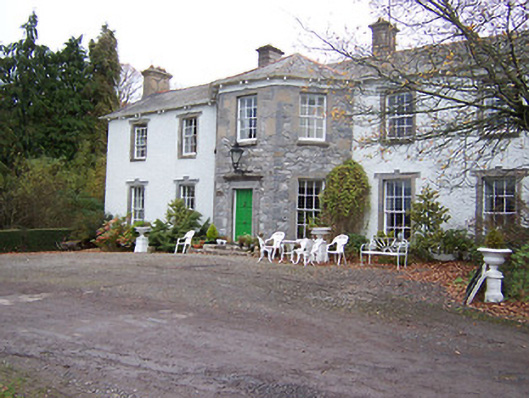 Reynella Housecountry house · 1139 yd
 Font in Killulagh,williamstown (rochford)Font · 1262 yd
 The FurzeForest · 5.1 mi
 Kells HillMountain / peak · 7.8 mi
 Seafin HillMountain / peak · 8.5 mi
 Croppies' GraveMemorial · 11 mi
 CastleCastle, unclassified · 1002 yd
Other information
Photo: Credit not shown in the picture search · Rights wording not checked; contact us if this picture should be removed