
What is recorded here
Situated on the summit of a high hill, in pasture, with extensive views in all directions. Enclosure (WM020-046----) lies c. 62m to ESE. Depicted on the revised 1913 ed. OS 25-inch map as a roughly oval-shaped earthwork with an OS trig. point marking 503 ft. OD in the centre. According to Adams (1959, 57), a ‘mote’ is situated on Sion Hill and again Adams (1960, 25-26) references ‘an artificial platform on the highest point of Sion Hill’. Monument described in 1970 as a roughly circular-shaped earthen platform (approx. diam. 20m) defined by a high, steep-sided scarp (approx. H 2.3m). There is no visible trace of a fosse or an outer bank. A portion of the scarp has been quarried away from E-S leaving a slightly concave indent in the perimeter. The original entrance is not visible. The top of the platform has a very gentle WSW-facing slope. Within the centre is a low circular mound of earth and stones that supports an OS triangulation station. Monument is visible as a suboval-shaped earthwork on Digital Globe aerial photography.
Classification of this monument is uncertain, the flat-topped platform and gently sloping sides of the monument suggests that this may be the remains of a prehistoric burial mound or an Anglo-Norman motte. Hilltop location may suggest that this was a burial mound rather than an Anglo-Norman motte, however flat topped platform would point towards motte castle classification or medieval raised rath/ringfort.
Compiled by: Alison McQueen, Vera Rahilly and Caimin O’Brien
Date of upload: 04 July 2019
A local castle; wider significance not recorded.
This remains an important historical record, but the official description says the monument is no longer visible or has been destroyed. The monument record does not grant public access. Check the route and ask the landowner before entering private land.
- What survives
- No visible remains or recorded as destroyed
Places near here
 Partially hachuredFairy fort / earthen ringfort · 829 yd
 Hut site in Balrath EastHut site · 1091 yd
 Kilpatrick ChurchChurch · 1511 yd
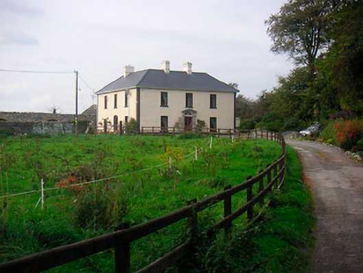 Millarstown Househouse · 1539 yd
 Edmondstown Castle (in Ruins)Castle, tower house · 1.1 mi
 Killagh Ho. & CastleCastle, tower house · 1.5 mi
 GinkgoGinkgo · 1.5 mi
 ScregganWood · 5.1 mi
 Kells HillMountain / peak · 9.7 mi
 Croppies' GraveMemorial · 10.0 mi
 IndicatedFairy fort / earthen ringfort · 1388 yd
 Ecclesiastical enclosure in CorbetstownEcclesiastical enclosure · 1503 yd
Other information
Photo: Credit not shown in the picture search · Rights wording not checked; contact us if this picture should be removed