
What is recorded here
Situated on a high terrace on the NW-side of a high hill, in pasture with extensive views to S, SW and N. Depicted on the 1837 OS 6-inch map as a circular-shaped earthwork intersected at SE by a field boundary. Depicted on the revised 1913 ed. OS 25-inch map as a D-shaped earthwork transected by a field boundary to SE. Monument described in 1970 as a broad oval-shaped area (dims. 41m N-S; 29m E-W) defined by a scarp and fosse. The scarp is relatively high (H 2.7m) and exists from SE-S-W-NW. There are traces of a fosse also from SE-S-W-NW. The original entrance is not clearly recognisable but it may have been through a gap (Wth at top 4m; basal Wth 2m) at ENE. There are gaps in the scarp at E and SE where traversed by modern field fences. The interior is divided into three parts by two modern field fences. One extends ENE-WSW and NE-SW across the S quadrant and the other extends NW-SE across the S sector. The division to N has clear traces of cultivation ridges running N-S. Monument is visible as a partially tree-lined earthwork on Digital Globe aerial photography.
Compiled by: Alison McQueen, Vera Rahilly and Caimin O’Brien
Date of upload: 04 July 2019
A local fairy fort (ringfort/rath); wider significance not recorded.
The monument record does not grant public access. Check the route and ask the landowner before entering private land.
- What survives
- Recorded monument
Places near here
 CastleCastle, motte · 829 yd
 St. Columbkilles WellHoly well · 877 yd
 Church (in Ruins)Chapel · 926 yd
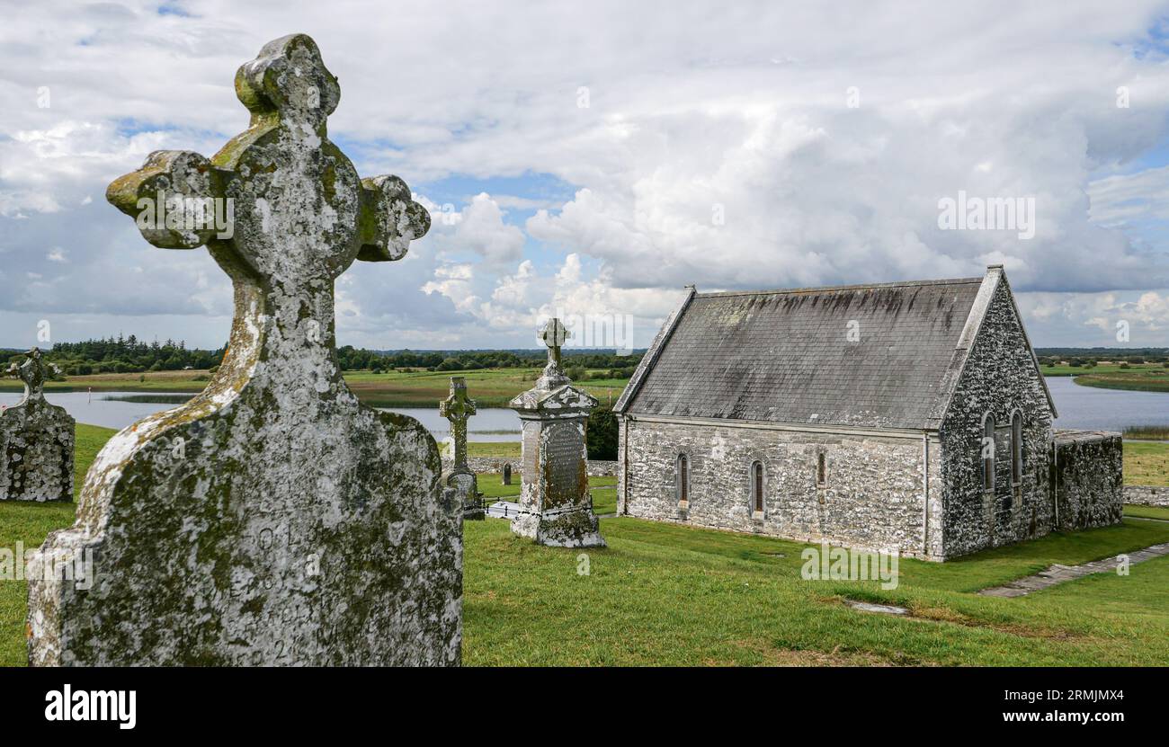 Ecclesiastical enclosure in ClonlostEcclesiastical enclosure · 960 yd
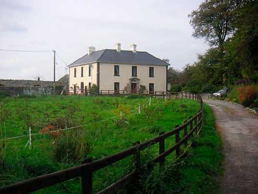 Millarstown Househouse · 1698 yd
 Edmondstown Castle (in Ruins)Castle, tower house · 1698 yd
 GinkgoGinkgo · 1.6 mi
 ScregganWood · 5.5 mi
 Kells HillMountain / peak · 9.9 mi
 Croppies' GraveMemorial · 10 mi
 Hut site in Balrath EastHut site · 1360 yd
 Corbally Burial GroundChurch · 1542 yd
Other information
Photo: Credit not shown in the picture search · Rights wording not checked; contact us if this picture should be removed