What is recorded here
Flat cemetery in Edmondstown (farbill By.) marks burial sites inside gently undulating pasture, while Tober Lastragh keeps its older water nearby. It escaped both the 1837 and 1913 survey maps, suggesting that even official drawing tools looked through the place rather than at it. The absence is not empty; it is a reminder that some deaths stopped being displayed long before they stopped mattering.
Situated in gently undulating pasture. Not depicted on the 1837 OS 6-inch map or the revised 1913 ed. OS 25-inch map. Holy well (WM020-042----) known as 'Tober Lastragh' lies within the northern area. Monument is described in SMR file as a ‘flat cemetery’ containing ‘burial sites’ (NMI Index). Monument is not visible on Digital Globe aerial photography.
Compiled by Alison McQueen, Vera Rahilly and Caimin O’Brien.
Date of upload: 05 July 2019
The monument record does not grant public access. Check the route and ask the landowner before entering private land.
- What survives
- Recorded monument
Places near here
 Tober LastraghHoly well · 157 yd
 Edmondstown Castle (in Ruins)Castle, tower house · 811 yd
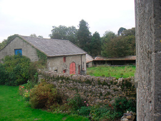 Huntingdon Houseoutbuilding · 924 yd
 Corbally Burial GroundChurch · 1173 yd
 CastleCastle, ringwork · 1368 yd
 Church (in Ruins)Chapel · 1573 yd
 GinkgoGinkgo · 2.5 mi
 ScregganWood · 6.0 mi
 Croppies' GraveMemorial · 9.9 mi
 EnclosureEnclosure, large enclosure · 1395 yd
 St. Columbkilles WellHoly well · 1455 yd
 Hut site in ClonickilvantHut site · 1498 yd