
What is recorded here
In reclaimed poorly drained grassland. Outline of large circular-shaped area (dims. c. 107m N-S) defined by a fosse visible on Google Earth orthoimages.
See attached Google Earth orthophotos
Compiled by: Caimin O'Brien based on details provided by Jean-Charles Caillère
Date of upload: 29 October 2021
A local fairy fort (ringfort/rath); wider significance not recorded.
The monument record does not grant public access. Check the route and ask the landowner before entering private land.
- What survives
- Recorded monument
Places near here
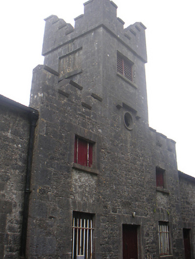 Lisnabin Castlestables, outbuilding · 701 yd
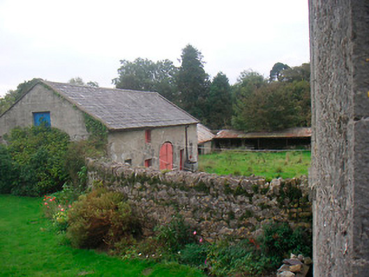 Huntingdon Houseoutbuilding · 726 yd
 CastleCastle, tower house · 1003 yd
 Edmondstown Castle (in Ruins)Castle, tower house · 1459 yd
 Tober LastraghHoly well · 1526 yd
 TobermíonadHoly well · 1.0 mi
 GinkgoGinkgo · 3.3 mi
 ScregganWood · 6.1 mi
 Croppies' GraveMemorial · 9.4 mi
 Bawn in Kerinstown and Balrowan (rowley)Bawn · 1.0 mi
 Corbally Burial GroundChurch · 1.1 mi
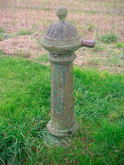 water pumpwater pump · 1.1 mi
Other information
Photo: Credit not shown in the picture search · Rights wording not checked; contact us if this picture should be removed