
What is recorded here
Cloncullen Castle mentioned as a castle in 'Clunicully' in the terrier of the 1655 Down Survey map of Farbill barony (NLI MS 723-4). The castle is depicted as a tower house type structure on the 1655 Down Survey barony map where it is shown standing on lands belonging in 1640 to Sir Luke Fitzgerald (ibid.). Situated on a rise, in gently undulating pasture, 60m N of townland boundary in area of recent forestry plantation. Depicted on the 1837 ed. OS 6-inch map as a rectangular-shaped structure. Not depicted on the revised 1913 ed. OS 25-inch map. Castle site of c. 50m to NW of the location shown on the 1837 OS map. Monument described in 1983 as an irregular-shaped stony mound consisting of large chunks of masonry. The size and nature of the structure cannot be determined from the visible remains. No decorative or worked stone visible. A building (WM020-107001-) is located to the W and earthworks extend to S and W of the castle ruins. Traces of a roughly rectangular-shaped cropmark are visible on Digital Globe aerial photography.
Compiled by Alison McQueen, Vera Rahilly and Caimin O’Brien.
Date of upload: 08 July 2019
Cloncullen Castle was likely built in the 15th or 16th century by an Irish Gaelic family, possibly the MacGiolla Phádraig (O'Hehirys), who held lands in the area. It is remembered as a surviving example of a tower house in a region with significant early medieval and Gaelic heritage.
The monument record does not grant public access. Check the route and ask the landowner before entering private land.
- What survives
- Recorded monument
Places near here
 EnclosureEnclosure, large enclosure · 1003 yd
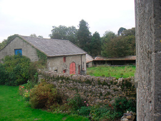 Huntingdon Houseoutbuilding · 1153 yd
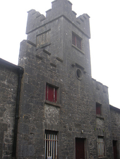 Lisnabin Castlestables, outbuilding · 1601 yd
 Bawn in Kerinstown and Balrowan (rowley)Bawn · 1643 yd
 Site of ChurchChurch · 1.1 mi
 Edmondstown Castle (in Ruins)Castle, tower house · 1.4 mi
 GinkgoGinkgo · 3.6 mi
 ScregganWood · 6.7 mi
 Croppies' GraveMemorial · 9.6 mi
 Water millWater mill, horizontal-wheeled · 1.1 mi
 Hut site in ClonickilvantHut site · 1.2 mi
 Tober LastraghHoly well · 1.2 mi
Other information
Photo: Credit not shown in the picture search · Rights wording not checked; contact us if this picture should be removed