
What is recorded here
On top of low hillock with good views in all directions. Castle site (WM027-007001-) 255m to NW and ringfort (WM027-008----) 210m to WNW. Man-made underground passage (WM027-009003-) c. 30m to SW. Modern quarry area located to SW-W and N of church. Depicted on 1837 ed. OS 6-inch map as ‘Site of Church’ with church building shown forming the N boundary of ‘Knockmant Burial Ground’(WM027-009002-) wall. Church building not depicted on revised 1910 ed. OS 25-inch map. Barely visible grass covered wall footings of levelled church can be seen in N quadrant of Knockmant graveyard (WM027-009002-). Church described in the late 19th century as an ‘old church measures forty-two feet (12.8m) by fourteen (4.25m). The walls have been torn down and the stones carried off. Only the root remains’ (Cogan 1867, vol. 2, 434). Church and graveyard located on top of hillock the base of which has been scarped forming an enclosing element which has the appearance of a possible ecclesiastical enclosure. A series of sub-dividing banks within this enclosure forming small square-shaped fields can be seen on B/W aerial photographs (CUCAP APE020/021/024).
Compiled by: Caimin O’Brien
Date of upload: 15 August 2013
The monument record does not grant public access. Check the route and ask the landowner before entering private land.
- What survives
- Recorded monument
Places near here
 Partially HachuredFairy fort / earthen ringfort · 267 yd
 CastleCastle, unclassified · 307 yd
 RoadRoad, hollow-way · 823 yd
 OutlinedFairy fort / earthen ringfort · 1029 yd
 Bawn in Kerinstown and Balrowan (rowley)Bawn · 1105 yd
 Footy's Bridgebridge · 1738 yd
 GinkgoGinkgo · 4.7 mi
 ScregganWood · 7.0 mi
 Croppies' GraveMemorial · 9.1 mi
 Enclosure in Porterstown (napper)Enclosure · 1088 yd
 Man-made underground passage in BanagherMan-made underground passage · 1656 yd
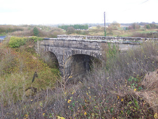 bridgebridge · 1.0 mi
Other information
Photo: Credit not shown in the picture search · Rights wording not checked; contact us if this picture should be removed