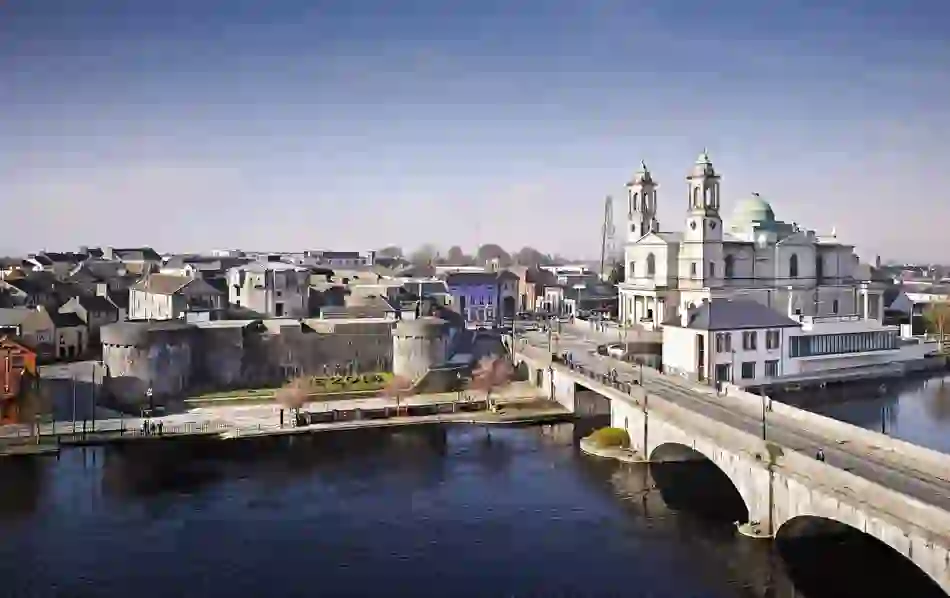
What is recorded here
Situated in a low-lying hollow at the base of a ridge, in wet marshy pasture, which is liable to flooding along a wide deep stream, which lies c. 130m to SW and forms the townland boundary. A ringfort (WM027-032----) lies c. 125m to SE. Not depicted on the 1837 ed. OS 6-inch map or on the revised 1913 ed. OS 25-inch map. Monument described in 1978 as two holes in the ground which are understood to represent the upper portions of two stone-lined chambers which are conical in cross-section, much like beehive structures. These have been partly backfilled with stones. According to local information these were exposed when doing land reclamation work across this area. A subsequent field inspection in 1984 described the monument as having no surface remains visible and is now blocked up. Linear parch mark in grass visible on Digital Globe aerial photography may indicate site of infilled Man-made underground passage.
Compiled by Alison McQueen, Vera Rahilly and Caimin O’Brien.
Date of upload: 06 November 2019
The monument record does not grant public access. Check the route and ask the landowner before entering private land.
- What survives
- Recorded monument
Places near here
 Partially hachuredFairy fort / earthen ringfort · 162 yd
 RoadRoad, hollow-way · 837 yd
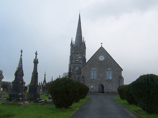 Saint Agnes's Catholic Churchchurch/chapel · 870 yd
 Heathstown CastleCastle, tower house · 1077 yd
 Enclosure in Porterstown (napper)Enclosure · 1273 yd
 CastleCastle, unclassified · 1.1 mi
 ScregganWood · 7.5 mi
 Abandoned Kinnegad CanalWood · 7.7 mi
 Croppies' GraveMemorial · 8.7 mi
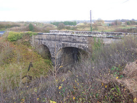 bridgebridge · 1222 yd
 Footy's Bridgebridge · 1229 yd
 25th Locklock · 1373 yd
Other information
Photo: Credit not shown in the picture search · Rights wording not checked; contact us if this picture should be removed