
What is recorded here
Situated in pasture, with good views in all directions. Located approx. 15m to N of possible motte & bailey (WM027-012----) known locally as 'Rathmore Fort' are the remains of an old trackway (Wth 5m) defined by two parallel banks running E-W. Clearly visible on Digital Globe aerial photography as a linear sunken area defined by a bank on either side.
Compiled by Alison McQueen, Vera Rahilly and Caimin O’Brien.
Date of upload: 04 November 2019
The monument record does not grant public access. Check the route and ask the landowner before entering private land.
- What survives
- Recorded monument
Places near here
 Partially hachuredFairy fort / earthen ringfort · 368 yd
 Site of ChurchChurch · 823 yd
 Footy's Bridgebridge · 1312 yd
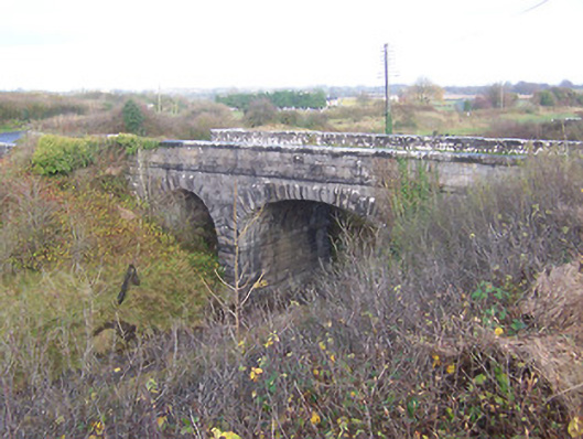 bridgebridge · 1327 yd
 CastleCastle, unclassified · 1683 yd
 Bawn in Kerinstown and Balrowan (rowley)Bawn · 1687 yd
 GinkgoGinkgo · 5.1 mi
 ScregganWood · 7.3 mi
 Croppies' GraveMemorial · 8.9 mi
 Man-made underground passage in BanagherMan-made underground passage · 837 yd
 Enclosure in Porterstown (napper)Enclosure · 902 yd
 OutlinedFairy fort / earthen ringfort · 968 yd
Other information
Photo: Credit not shown in the picture search · Rights wording not checked; contact us if this picture should be removed