What is recorded here
Situated on a prominent rise, in gently undulating pasture, with good views to N. Monument described as a roughly oval-shaped area (dims. 37m E-W; 25m N-S) enclosed by a bank and external fosse. The earth and stone bank is visible at W and N and has been incorporated into field boundaries from SSE-S-W. The fosse is traceable from NW-N. The original entrance is not recognisable. There is a disturbance depression within the centre of the interior and there are very vague suggestions of cultivation ridges running E-W. A roughly rectangular-shaped enclosure lies to NE of the monument and is probably part of an old field system.
See attached profile of monument surveyed and drawn by the ASI.
Compiled by Alison McQueen, Vera Rahilly and Caimin O’Brien.
Date of upload: 04 November 2019
The monument record does not grant public access. Check the route and ask the landowner before entering private land.
- What survives
- Recorded monument
Places near here
 RoadRoad, hollow-way · 368 yd
 Site of ChurchChurch · 907 yd
 CastleCastle, unclassified · 923 yd
 Man-made underground passage in BanagherMan-made underground passage · 953 yd
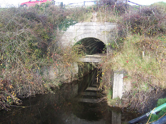 aqueductaqueduct · 1405 yd
 Heathstown CastleCastle, tower house · 1724 yd
 GinkgoGinkgo · 5.2 mi
 ScregganWood · 7.4 mi
 Croppies' GraveMemorial · 9.1 mi
 Enclosure in Porterstown (napper)Enclosure · 1265 yd
 OutlinedFairy fort / earthen ringfort · 1321 yd
 Footy's Bridgebridge · 1666 yd
Other information
Photo: Credit not shown in the picture search · Rights wording not checked; contact us if this picture should be removed