
What is recorded here
Situated on flat pasture with castle site (WM027-007001-) 55m to N, church (WM027-009001-) and graveyard (WM027-009002-) 210m to SE. On the 1837 ed. OS 6-inch map the monument is hachured as a roughly oval-shaped enclosure intersected at N by the Mullingar-Killucan road running E-W. Present remains consist of a raised steep sided sub-circular platform (H c. 3.5m; diam. 25.5m E-W; 22.3m N-S) defined by a poorly preserved bank only visible at NW, elsehwere it has been reduced to a scarp with no evidence of an external fosse or clear entrance feature. A gap in platform at SE may be an original entrance feature but more likely the result of natural erosion. The raised platform may have been a natural hillock that was scarped to form the present raised mound of earth which has the appearance of a low motte or a raised ringfort.
Compiled by: Caimin O’Brien
Date of upload: 15 August 2013
A local fairy fort (ringfort/rath); wider significance not recorded.
The monument record does not grant public access. Check the route and ask the landowner before entering private land.
- What survives
- Recorded monument
Places near here
 CastleCastle, unclassified · 87 yd
 Site of ChurchChurch · 267 yd
 RoadRoad, hollow-way · 872 yd
 OutlinedFairy fort / earthen ringfort · 1274 yd
 Bawn in Kerinstown and Balrowan (rowley)Bawn · 1337 yd
 Footy's Bridgebridge · 1.1 mi
 GinkgoGinkgo · 4.7 mi
 ScregganWood · 7.2 mi
 Croppies' GraveMemorial · 9.2 mi
 Enclosure in Porterstown (napper)Enclosure · 1318 yd
 Man-made underground passage in BanagherMan-made underground passage · 1703 yd
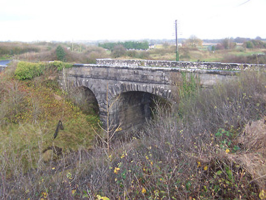 bridgebridge · 1.1 mi
Other information
Photo: Credit not shown in the picture search · Rights wording not checked; contact us if this picture should be removed