
What is recorded here
St Columbkille’s Well lies 50m E of Clonlost House. Depicted on the OS 6-inch map as a roughly rectangular-shaped well. Ringfort (WM020-036----) lies c. 65m to SE. Monument described in 1970 as a roughly rectangular-shaped, open well defined by a stone wall on three sides and by a short flight of steps on the fourth side. The level of the water is c. 1m below the present ground surface and appears reasonably clean. The ground in the immediate vicinity of the well is strewn with rocks and rubble derived from the demolished farmyard. Area around holy well has been incorporated into a large field and there is no visible surface trace of the well today on Digital Globe aerial photography.
Compiled by: Alison McQueen, Vera Rahilly and Caimin O’Brien
Date of upload: 07 June 2019
St. Columbkille’s Well is associated with the revered Irish saint Columba (Columbkille), known for his role in Christianizing parts of Ireland and Scotland. Traditionally, such wells were believed to have healing properties and were sites of pilgrimage and local devotion.
The monument record does not grant public access. Check the route and ask the landowner before entering private land.
- What survives
- Recorded monument
Places near here
 Church (in Ruins)Chapel · 124 yd
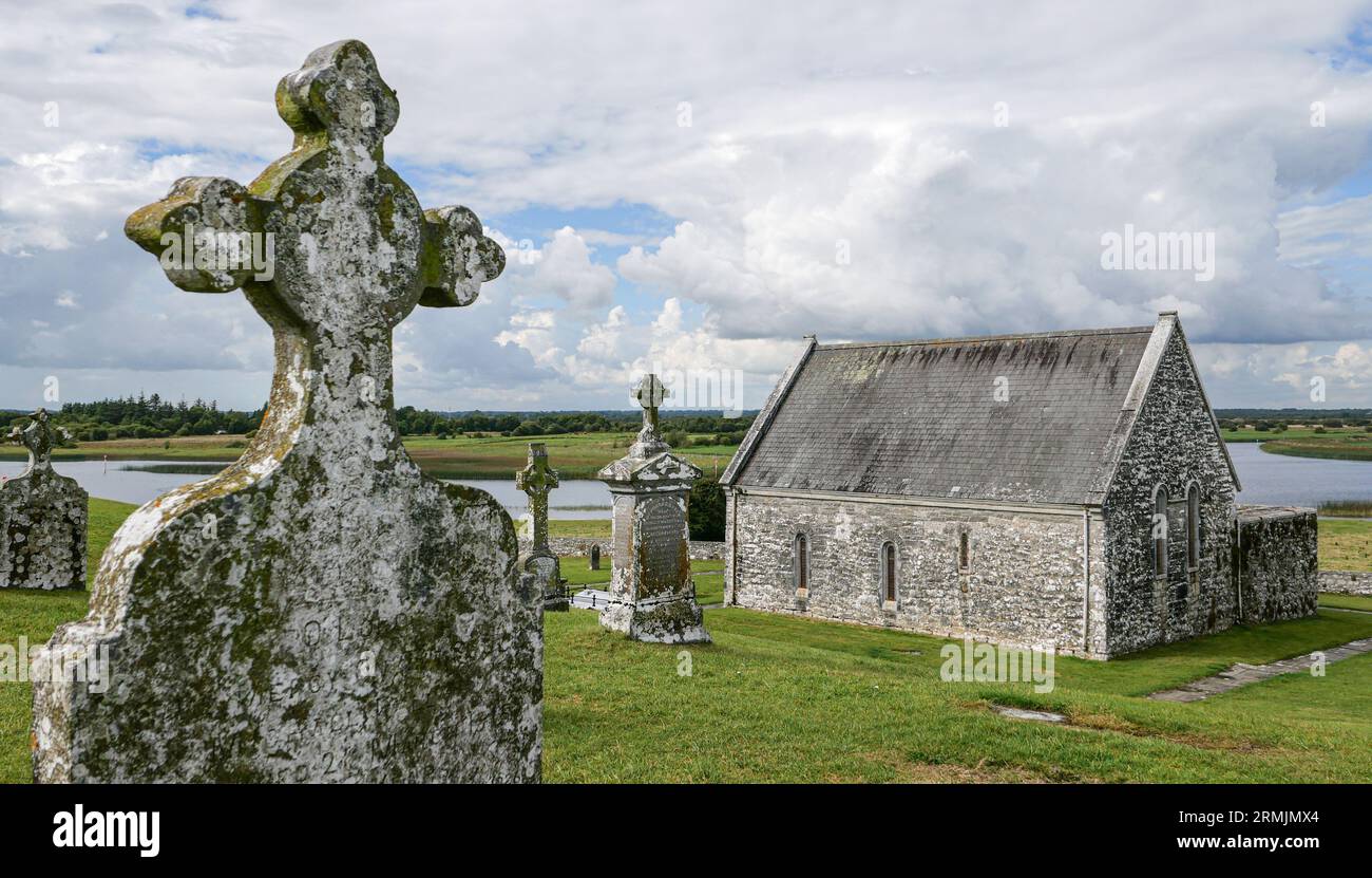 Ecclesiastical enclosure in ClonlostEcclesiastical enclosure · 166 yd
 CastleCastle, ringwork · 822 yd
 Partially hachuredFairy fort / earthen ringfort · 877 yd
 Edmondstown Castle (in Ruins)Castle, tower house · 1.1 mi
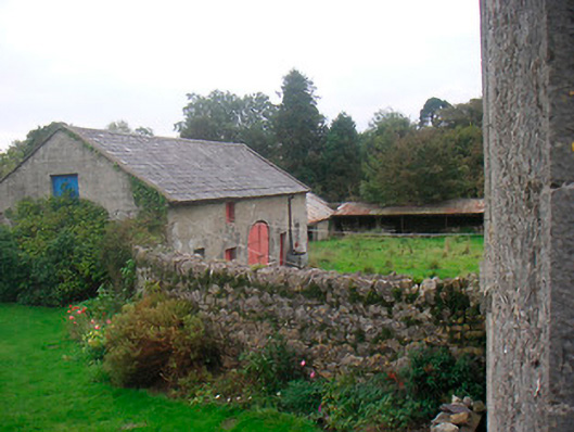 Huntingdon Houseoutbuilding · 1.3 mi
 GinkgoGinkgo · 1.7 mi
 ScregganWood · 6.0 mi
 Kells HillMountain / peak · 10.0 mi
 Croppies' GraveMemorial · 11 mi
 Tober LastraghHoly well · 1318 yd
 Enclosure in ClonlostEnclosure · 1351 yd
Other information
Photo: Credit not shown in the picture search · Rights wording not checked; contact us if this picture should be removed