What is recorded here
Situated in pasture. Depicted on the revised 1913 ed. OS 25-inch map as a roughly circular bivallate enclosure (approx. overall dims. 61m N-S; 60m E-W). Ringfort (WM020-035----) lies c. 50m to ESE. Monument described in 1970 as a roughly circular-shaped area defined by two widely spaced banks which are almost reduced…
Read the whole record
Situated in pasture. Depicted on the revised 1913 ed. OS 25-inch map as a roughly circular bivallate enclosure (approx. overall dims. 61m N-S; 60m E-W). Ringfort (WM020-035----) lies c. 50m to ESE. Monument described in 1970 as a roughly circular-shaped area defined by two widely spaced banks which are almost reduced to a scarp in each case. The inner scarp defines a suboval area and is higher than the outer. The wide counterscarp defines a circular area and is not concentric with the inner. Old tree-stumps are visible growing on this intervening space. A modern field bank has been constructed against the foot of the outer scarp from ENE-E-SSE. The entrance is represented by a gap in each bank at SSE. A radial bank intersects the W sides of the gaps. There is a second radial bank at NNE. The interior rises slightly from the perimeter and some stones protrude above the surface. Traces of a hut site (WM020-034001-) are visible within the centre of the interior. Monument is visible as a tree-lined bivallate earthwork on Digital Globe aerial photography. See attached plan and profile of monument surveyed and drawn by the ASI.
From the National Monuments Service (Archaeological Survey of Ireland) record WM020-034
Places near here
Photo credits
- National Inventory of Architectural Heritage
- Eric Jones, Geograph · Creative Commons Attribution-ShareAlike 2.0
- Kieran Campbell, Geograph · Creative Commons Attribution-ShareAlike 2.0
- EecherplazGinkgo06.jpg : Cayambe derivative work: Ginkgotree ( talk ), Wikimedia Commons · CC BY-SA 3.0
- Picture: Ireland In Ruins
- Mike Searle, Wikimedia Commons · CC BY-SA 2.0
- Eric Jones, Wikimedia Commons · CC BY-SA 2.0
- Sitomon, Wikimedia Commons · CC BY-SA 2.0
- Andreas F. Borchert, Wikimedia Commons · CC BY-SA 4.0
- Robin Pollard, Wikimedia Commons · CC BY 3.0
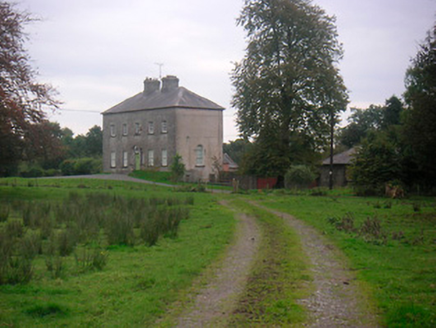 Huntingdon HouseCountry house · 1.1 mi
 Clondrisse HouseHouse · 1.2 mi
 Saint Joseph's Catholic ChurchChurch/chapel · 1.5 mi
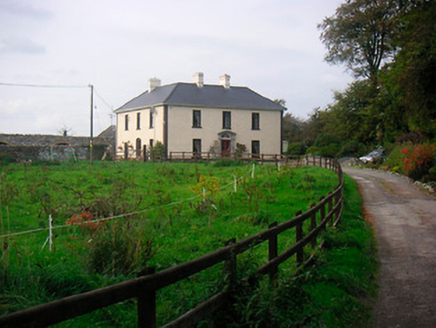 Millarstown HouseHouse · 1.6 mi
 Fairy fort / earthen ringfort in ReynellaFairy fort / earthen ringfort · 1.9 mi
 Ginkgo2.1 mi
 Taghmon CastleCastle, tower house · 5.1 mi
 Martinstown Castle in RuinsCastle, tower house · 5.2 mi
 Delvin CastleVisitor attraction · 5.9 mi
 European Yew9.1 mi
 Font (present location) in TowlaghtFont (present location) · 9.5 mi
Explorer Tom Font in Towlaght was moved from an old church to St Finian's in 1991. It’s carved with biblical scenes and looks like it has seen better days. It's free, it's odd, what more do you want?
 Croppies' GraveMemorial · 11 mi
More castles and forts in County Westmeath · All of County Westmeath

What do you know about this place?Tap to add a comment or ask a question