
What is recorded here
From the National Monuments Service (Archaeological Survey of Ireland) record MO012-086
Places near here
Photo credits
- Maker not stated on source page, www.pinterest.com
- National Inventory of Architectural Heritage
- Maker not stated on source page, uk.pinterest.com
- Alvesgaspar, Wikimedia Commons · CC BY-SA 3.0
- Maker not stated on source page, onefabday.com
- Maker not stated on source page, id.pinterest.com
 Fairy fort / earthen ringfort in ClonavillaFairy fort / earthen ringfort · 929 yd
Explorer Tom Fairy fort / earthen ringfort in Clonavilla claims it was built on a handshake deal involving three barrels of whiskey…
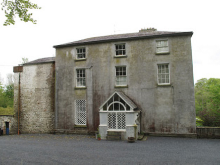 Bishops CourtCountry house · 970 yd
Explorer Tom Bishops Court in Altartate Glebe was home to a Bishop and also the birthplace of the Clones Lace industry, which is…
 Graveyard (Disused)Graveyard · 1071 yd
Explorer Tom Graveyard (Disused) in Annaghkilly is currently run by one very confused dog. The church is gone, but the name still…
 bridge1073 yd
Explorer Tom Bridge in Glear at Tanderagee is so overgrown it looks like it grew out of the mud itself. It’s got a twin across the…
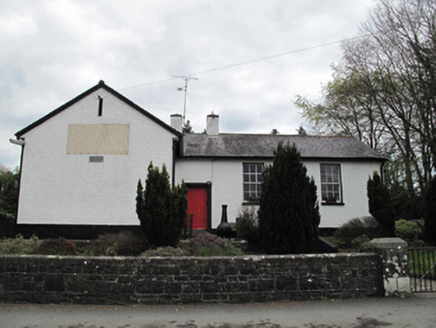 Annaghkilly National SchoolSchool · 1096 yd
Explorer Tom Annaghkilly National School is secretly proud of one specific potato it grew in 1840. It sits slightly raised above the…
 viaduct1216 yd
Explorer Tom Viaduct in Annaghkilly is just a bunch of lonely piers standing around wondering where the bridge went, probably…
 Ancient Stone (Site of)Standing stone · 1346 yd
Explorer Tom Ancient Stone in Annaghkilly is in a permanent feud with the rain, losing every time. It’s just two upright stones…
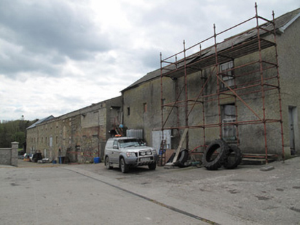 mill (water)1487 yd
Explorer Tom Mill in Annaghkilly would be the best man at the wedding, giving a speech about flour and water. The brick details…
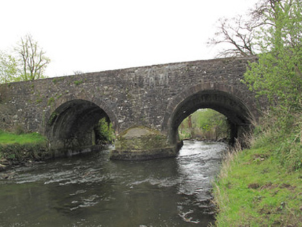 Anlore BridgeBridge · 1509 yd
Explorer Tom Anlore Bridge was built after a shady deal involving three sacks of flour and one very confused architect. Its arches…
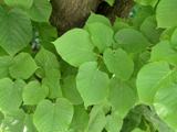 Common Lime1627 yd
Explorer Tom This Common Lime in County Monaghan keeps whispering to its younger self about making better leaf choices. It’s got…
 CastleCastle, unclassified · 1.1 mi
Explorer Tom Castle in Killycoonagh is teaching history by example, showing how quickly a local legend can fade into a nice memory…
 Killeevan Abbey GraveyardGraveyard · 1.6 mi
Explorer Tom Killeevan Abbey Graveyard in Monaghan started because two lads made a bet in the pub that they could find a spot with…
More archaeology and monuments in County Monaghan · All of County Monaghan

What do you know about this place?Tap to add a comment or ask a question