What is recorded here
Fairy fort / earthen ringfort in Clonavilla is a circular grass-covered area, 34m wide, bounded by a 3m earthen bank and marked by a deep hollow inside. It sits on a drumlin slope in County Monaghan, where the land still holds the shape of human hands. The name suggests wonder, but the measurements suggest purpose: a boundary drawn in soil, not fantasy.
Located just off the crest of the NE-facing slope of a drumlin. This is a circular grass-covered area (diam. 34m E-W; 33.5m N-S) defined by an earthen bank (Wth c. 3m; int. H c. 0.3m; ext. H 1.4-1.8m) planted with deciduous trees, with traces of an outer fosse (Wth of base c. 2m) S-WSW. An entrance gap (Wth of base c. 2m) at WSW is probably modern. Inside the perimeter at SW is a grass-covered hollow (dims of base c. 14m E-W; c. 9m N-S; D 0.9m), probably an old quarry.
The above description is derived from the published 'Archaeological Inventory of County Monaghan' (Dublin: Stationery Office, 1986). In certain instances the entries have been revised and updated in the light of recent research.
Revised by: Michael Moore
Date of revision: 29 January 2018
The monument record does not grant public access. Check the route and ask the landowner before entering private land.
- What survives
- Recorded monument
Places near here
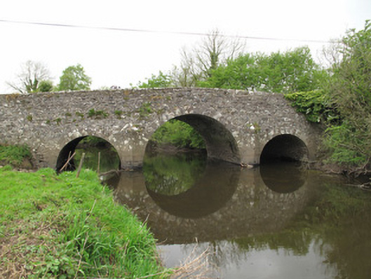 Scarvy Bridgebridge · 721 yd
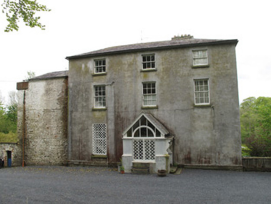 Bishops Courtcountry house · 882 yd
 IndicatedCrannog · 1222 yd
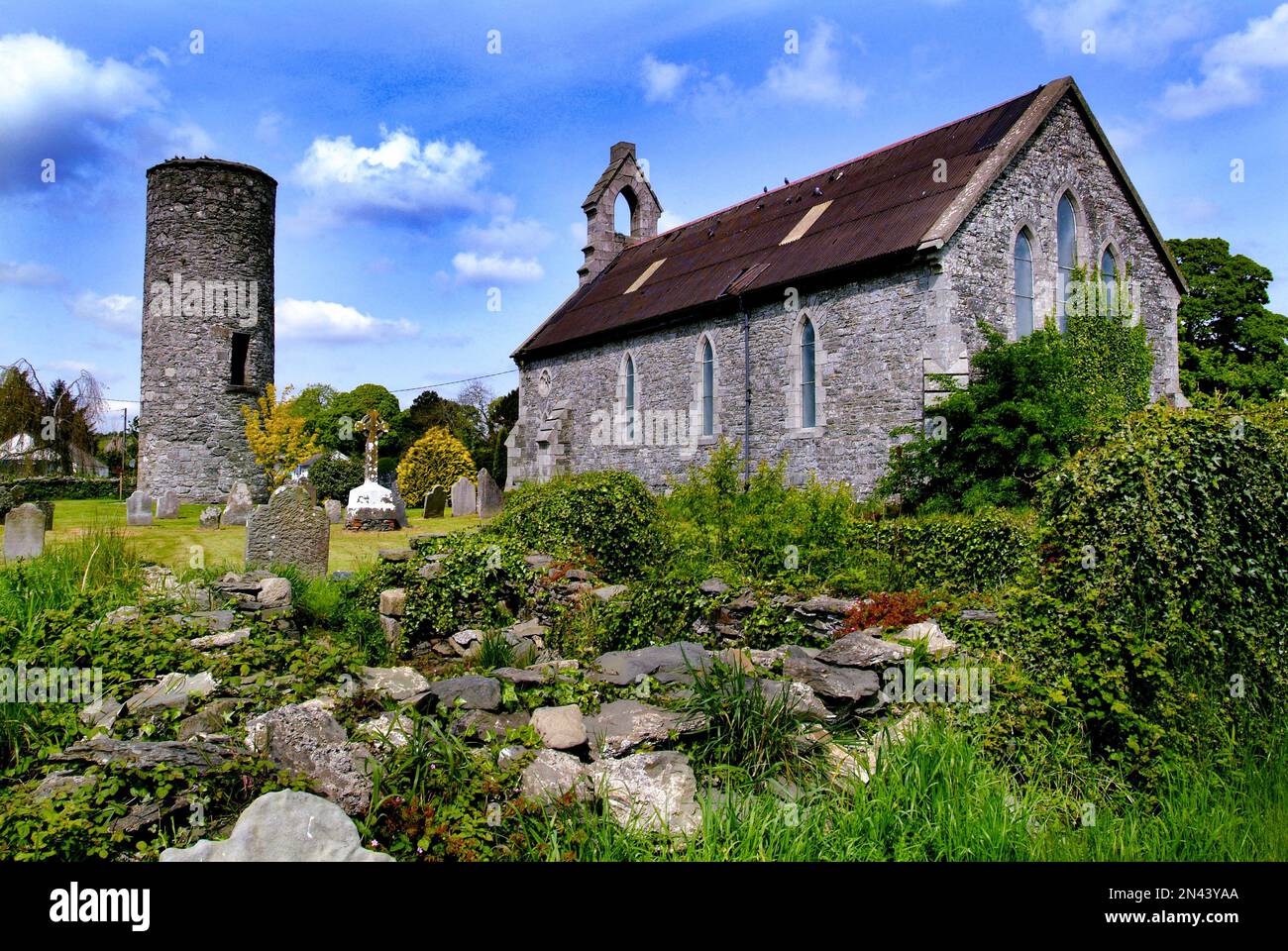 Man-made underground passage in AnnaghkillyMan-made underground passage · 1295 yd
 Abbey RuinsHeritage attraction · 1716 yd
 Bawn in CrossmoyleBawn · 1743 yd
 The Cassandra Hand CentreMuseum · 1.0 mi
 Saint John's WellSpring · 1.1 mi
 CastleCastle, motte and bailey · 1.1 mi
 KillycoonaghWood · 1.3 mi
 Common LimeCommon Lime · 1.3 mi
 Jaundice WellSpring · 3.1 mi