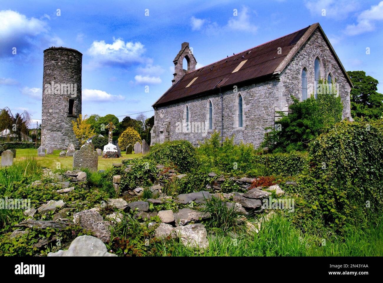
What is recorded here
Situated at the N end of a short N-S drumlin ridge and at the centre of rath (MO012-062----). A rock-cut circular depression (diam. of base 8m; max. D 1.6m), with a trench (L 7m; Wth 2m; max. D 1.3m) extending W from it is visible, although it might be a quarry.
Compiled by: Michael Moore
Date of upload: 5 February, 2018
The monument record does not grant public access. Check the route and ask the landowner before entering private land.
- What survives
- Recorded monument
Places near here
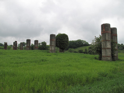 viaductviaduct · 583 yd
 Church in AnnaghkillyChurch · 603 yd
 Saint John's WellSpring · 711 yd
 IndicatedCrannog · 733 yd
 Ancient Stone (Site of)Mass-rock · 768 yd
 Common LimeCommon Lime · 1042 yd
 KillycoonaghWood · 1047 yd
 Abbey RuinsHeritage attraction · 1.7 mi
 Bawn in CrossmoyleBawn · 1.7 mi
 The Cassandra Hand CentreMuseum · 1.7 mi
 CastleCastle, motte and bailey · 1.9 mi
 Jaundice WellSpring · 2.6 mi
Other information
Photo: Credit not shown in the picture search · Rights wording not checked; contact us if this picture should be removed