
What is recorded here
Depicted as an island close to the NE shore of Glear Lough or Bishop’s Lough, an oval lake (max. dims c. 440m WNW-ESE; c. 200m NNE-SSW) on the 1834 edition of the OS 6-inch map, but it is now incorporated in the tip of a promontory on the SW side of the much reduced lake. It is a circular grass-covered area (diam. 18m E-W; 16m N-S; H c. 1m over the lake) with trees at the edge. Some piles in the water at E and animal bones at the N edge are noted in the 1940s (SMR file). Crannog (MO012-060----) is c. 100m to the NE.
The above description is derived from the published 'Archaeological Inventory of County Monaghan' (Dublin: Stationery Office, 1986). In certain instances the entries have been revised and updated in the light of recent research.
Revised by: Michael Moore
Date of revision: 29 January 2018
The monument record does not grant public access. Check the route and ask the landowner before entering private land.
- What survives
- Recorded monument
Places near here
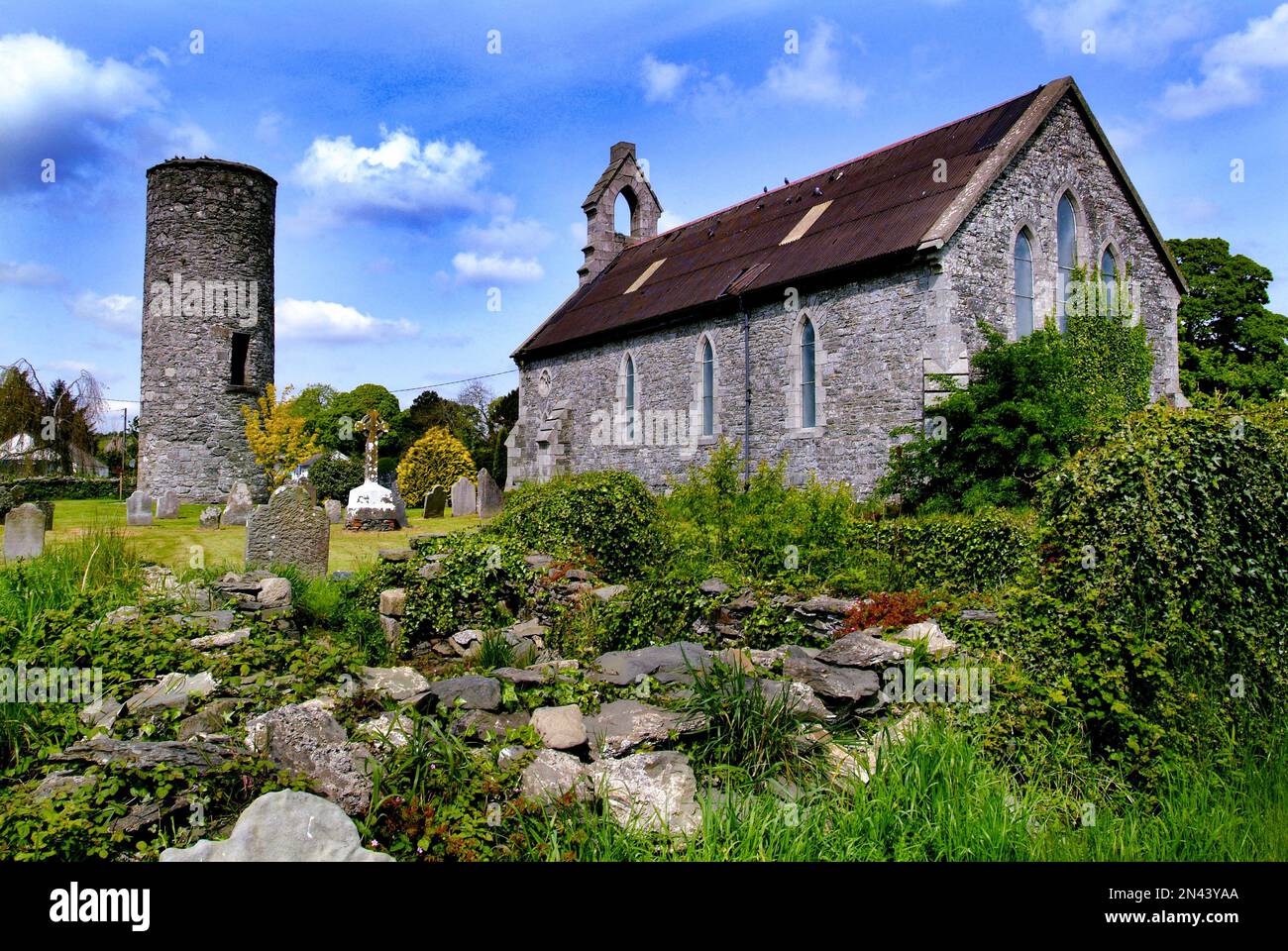 Man-made underground passage in AnnaghkillyMan-made underground passage · 733 yd
 bridgebridge · 780 yd
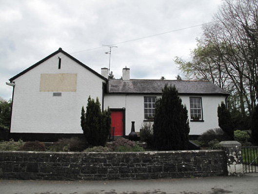 Annaghkilly National Schoolschool · 862 yd
 Saint John's WellSpring · 933 yd
 Ancient Stone (Site of)Mass-rock · 1031 yd
 KillycoonaghWood · 1256 yd
 Common LimeCommon Lime · 1461 yd
 Bawn in CrossmoyleBawn · 1.5 mi
 Abbey RuinsHeritage attraction · 1.5 mi
 The Cassandra Hand CentreMuseum · 1.5 mi
 CastleCastle, motte and bailey · 1.7 mi
 Jaundice WellSpring · 2.4 mi
Other information
Photo: Credit not shown in the picture search · Rights wording not checked; contact us if this picture should be removed