
What is recorded here
From the National Monuments Service (Archaeological Survey of Ireland) record CO040-003
Places near here
Photo credits
- Maker not stated on source page, it.pinterest.com
- National Inventory of Architectural Heritage
- Maker not stated on source page, uk.pinterest.com
- Maker not stated on source page, www.dreamstime.com
- Jim Coughlan / EchoLive, www.echolive.ie
- Maker not stated on source page, tr.pinterest.com
- Maker not stated on source page, www.pinterest.com
- Maker not stated on source page, www.alamy.com
- Kmcnamee, Wikimedia Commons · CC BY-SA 4.0
- Jonathan Thacker, Geograph · CC BY-SA 2.0
 Fairy fort / earthen ringfort in CarragraigueFairy fort / earthen ringfort · 351 yd
Explorer Tom Fairy fort / earthen ringfort in Carragraigue has been levelled into the field boundaries. No surface trace left at…
 Carragraigue BridgeBridge · 592 yd
Explorer Tom Carragraigue Bridge has round arches and cut voussoirs that make it look like it’s smiling at you from over the water.…
 Boolymore WoodWood · 1042 yd
Explorer Tom Boolymore Wood has a superstition that if you whistle, a fairy will steal your shoelaces and tie them to a branch as…
 Bride's BridgeBridge · 1178 yd
Explorer Tom Bride's Bridge in Drombeg has cutwaters on the west elevation that look like decorative teeth biting into the air. It’s…
 Rathcool BridgeBridge · 1568 yd
Explorer Tom Rathcool Bridge in Boolymore has seagulls telling everyone it’s too show-off with its rhythmical silhouette. Its…
 Fairy fort / earthen ringfort in Killeen (muskerry West By., Kilcorney Par.)Fairy fort / earthen ringfort · 1.1 mi
Explorer Tom Fairy fort / earthen ringfort in Killeen has a hero who saved it from being dug up by a farmer with a grudge, but…
 Dromtariffe GAA pitchGAA ground · 1.1 mi
 Laght WoodWood · 1.8 mi
Explorer Tom Laght Wood in County Cork claims there's a secret tunnel running straight to the local pub if you look hard enough…
 Standing stone in Laght (duhallow By.)Standing stone · 1.9 mi
Explorer Tom Standing stone in Laght started because two lads bet twenty quid that nobody could find it. They both lost, but the…
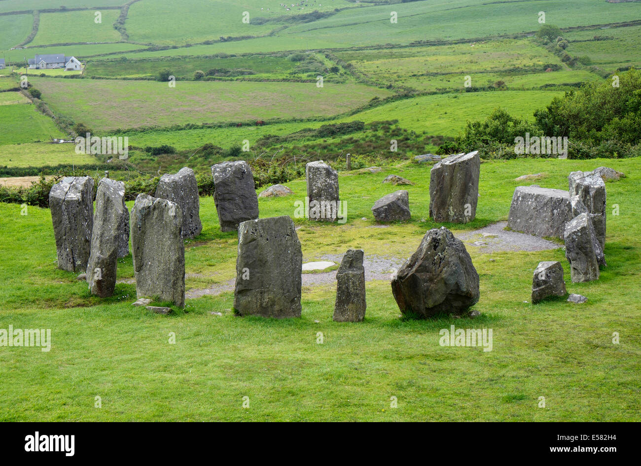 Anomalous stone group in Crinnaloo NorthAnomalous stone group · 2.5 mi
Explorer Tom Anomalous stone group in Crinnaloo North is being claimed by a local who says he invented them himself last Tuesday.…
 Lyre GAA pitchGAA ground · 3.7 mi
 Kilmeedy CastleCastle, tower house · 6.0 mi
Explorer Tom Kilmeedy Castle was designed by a mother-in-law who really needed everyone to know where the door was, so she added a…
More archaeology and monuments in County Cork · All of County Cork

What do you know about this place?Tap to add a comment or ask a question