What is recorded here
Marked as a subcircular enclosure (dims. c. 50m E-W; c. 40m N-S) only on the 1839 ed. of the OS 6-inch map. It is situated at the bottom of the E-facing slope of Bree Hill with the source of a small N-S stream c. 150m to the E. This is a raised and grass-covered rectangular area (dims. 31m N-S; 28m E-W) defined by scarps at E (Wth 4m; H 0.6m) and S (Wth 6.5m; H 1m), an infilled moat (Wth 12m; D 0.3m) at N and a moat (Wth 3m) connected with field drainage and a field bank at W. Moated site (WX025-033----) is c. 120m to the S.
Marked as a subcircular enclosure (dims. c. 50m E-W; c. 40m N-S) only on the 1839 ed. of the OS 6-inch map. It is situated at the bottom of the E-facing slope of Bree Hill with the source of a small N-S stream c. 150m to the E. This is a raised and grass-covered rectangular area (dims. 31m N-S; 28m E-W) defined by scarps at E (Wth 4m; H 0.6m) and S (Wth 6.5m; H 1m), an infilled moat (Wth 12m; D 0.3m) at N and a…
From the National Monuments Service (Archaeological Survey of Ireland) record WX025-032
The monument record does not grant public access. Check the route and ask the landowner before entering private land.
- What survives
- Recorded monument
Places near here
Photo credits
- National Inventory of Architectural Heritage
- David Purchase, Geograph · Creative Commons Attribution-ShareAlike 2.0
- Garry Dickinson, Geograph · CC BY-SA 2.0
- George Cruikshank, Wikimedia Commons · Public domain
- Mike Searle, Wikimedia Commons · CC BY-SA 2.0
- Richard Webb, Geograph · CC BY-SA 2.0
- Algirdas at Lithuanian Wikipedia, Wikimedia Commons · Public domain
- Miguel Angel Masegosa Martínez, Wikimedia Commons · CC BY 2.0
- Wanfried-Dublin, Wikimedia Commons · CC BY-SA 4.0
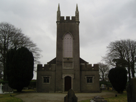 Saint John's Church (Clonmore)Church/chapel · 641 yd
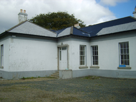 Clonmore GlebeRectory/glebe/vicarage/curate's house · 847 yd
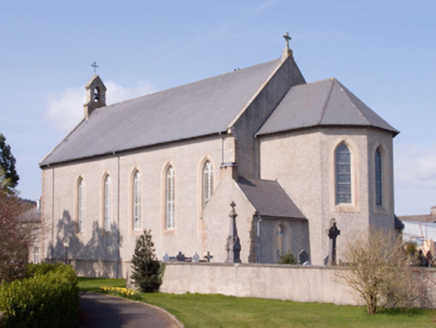 Catholic Church of the AssumptionChurch/chapel · 998 yd
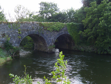 bridge1389 yd
 Clonmore Grave YardGraveyard · 1692 yd
 Wilton HouseCastle, unclassified · 1.2 mi
_p184_Defeat_at_Vinegar_Hill_(cropped).jpg/250px-MAXWELL(1845)_p184_Defeat_at_Vinegar_Hill_(cropped).jpg "Photo: George Cruikshank, Wikimedia Commons · Public domain") Battle of Vinegar HillMajor battlefield · 4.5 mi
Battle of Vinegar HillMajor battlefield · 4.5 mi_(geograph_5442502).jpg/250px-Castles_of_Leinster-_Adamstown,_Wexford_(1)_(geograph_5442502).jpg "Photo: Mike Searle, Wikimedia Commons · CC BY-SA 2.0") Castle (in ruins)Castle, tower house · 5.4 mi
Castle (in ruins)Castle, tower house · 5.4 mi Carrickbyrne HillMountain / peak · 8.6 mi
 Pedunculate Oak9.0 mi
 Sweet Chestnut17 mi
Explorer Tom A Sweet Chestnut stands ready, likely planning to drop exactly one perfect nut for each hungry explorer today.
 Cloghabrona Druids AltarPortal tomb · 20 mi
Explorer Tom Cloghabrona Druids Altar features a massive capstone resting on a collapsed chamber, inviting you to imagine ancient rituals.
More archaeology and monuments in County Wexford · All of County Wexford
What do you know about this place?