
What is recorded here
On flat pasture in upland area with good views in all directions. Cluster of several farmhouses situated within a small circular area (approx. int. diam. 50m) defined by a earthen bank surmounted by a hedgerow as indicated on first (1840) ed. OS 6-inch map. In the OS Namebook the enclosure is referred to as enclosing 5 or 6 farmhouses. Only one farmhouse survives today and a portion of the curving boundary defined by an earthen bank surmounted by a hedge survives in the E quadrant of the settlement. The monument appears to have been a cluster of farmsteads enclosed by a circular hedgerow, it is unclear whether the boundary was earlier than the settlement or contemporary with the clachan. Strong possibility that this circular enclosure defined the settlement boundary and was contemporary with the cluster of farmhouses. The buildings that survive today are single-storey white-washed outhouses of 18th/19th-century date alongside modern agricultural buildings. Only the E section of the original enclosure survives and consists of an earthen bank (approx. H 0.7m) surmounted by a hedgerow. Example of a nucleated settlement in a rural location of 18th century date or earlier. Enclosure appears to be post-1700 AD in date.
Compiled by: Jean Farrelly
Date of upload: 26 August 2011
A local fairy fort (ringfort/rath); wider significance not recorded.
The monument record does not grant public access. Check the route and ask the landowner before entering private land.
- What survives
- Recorded monument
Places near here
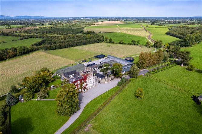 Enclosure in Ballyphilip (crohane Par.)Enclosure · 423 yd
 Enclosure in CoolquillEnclosure · 804 yd
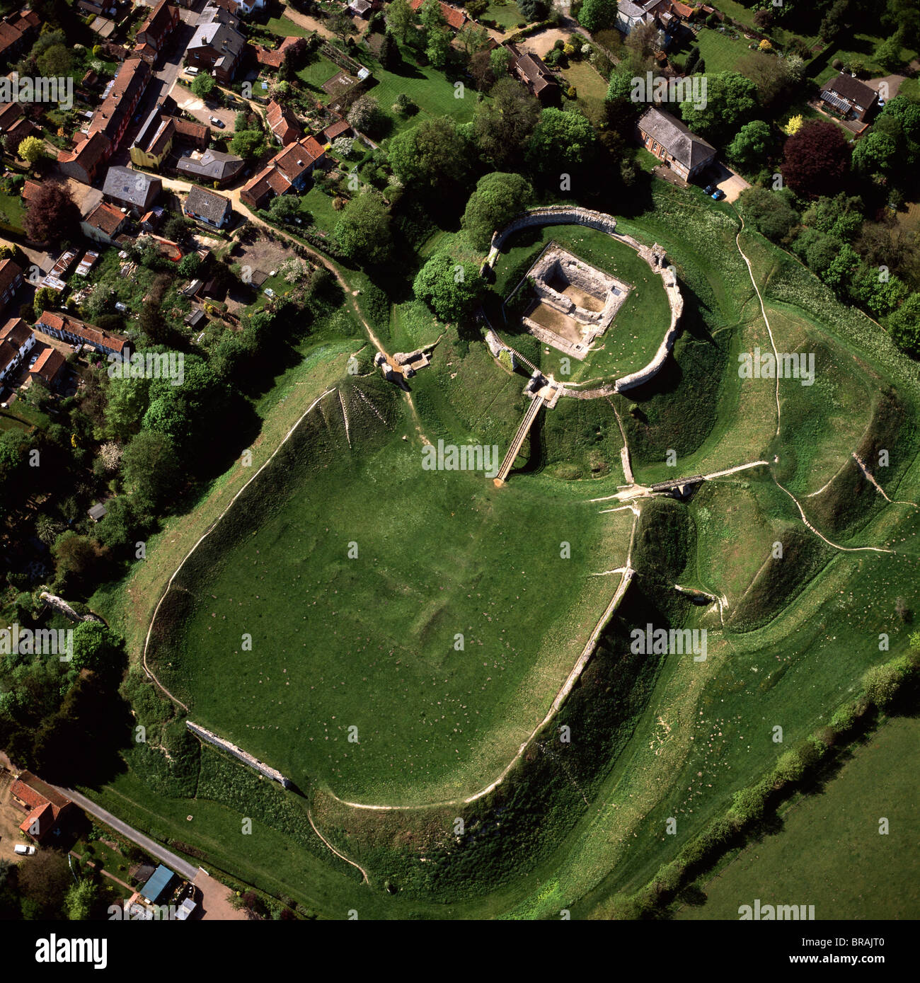 CastleCastle, motte and bailey · 1108 yd
 Coolquill CastleCastle · 1498 yd
 Eagle HillMountain / peak · 1671 yd
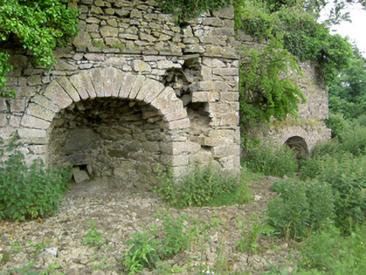 kilnkiln · 1.7 mi
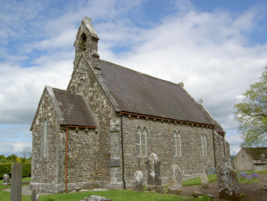 Crohane Churchchurch/chapel · 1.7 mi
 Slieveardagh Heritage CentreVisitor information · 1.8 mi
 Waterloo HillMountain / peak · 3.0 mi
 Derrynaflan TrailHeritage attraction · 4.8 mi
 Gobban Saer's GraveArchaeological place · 5.1 mi
 Fenane WoodForest · 5.3 mi
Other information
Photo: Credit not shown in the picture search · Rights wording not checked; contact us if this picture should be removed