What is recorded here
In reclaimed grassland in shallow valley in upland region with good views to E and W, higher ground to N and S. Raised circular area/platform (approx. diam. 26m N-S) defined by a scarp (H 0.8-1.4m) and outer fosse (base Wth 2.5-3.5m; top Wth 5-7m; ext. D 0.4m) and later field boundary bank (base Wth 3.5m; top Wth 1.4m; ext. H 0.6m) the profile of which is sharp and 19th century in appearance. Large quarry (D 2m; dims. 30m N-S x 15m E-W) located in NE quadrant of ringfort and remainder of monument is covered in thorn bushes and scrub vegetation making detailed examination impossible. Land immediately to W has not been reclaimed and is wet and marshy while the land to the N and S has been reclaimed and has been re-seeded in grassland. The ringfort is intersected at N by a field boundary on an E-W axis and at E and W by two other field boundaries as depicted on the 1903 ed OS 6-inch map. Originally the ringfort was located in a wet marshy valley in an upland region with higher ground to N and S with the land being reclaimed about 15 years ago. Poorly preserved ringfort with a lot of damage caused by open cast quarrying of E quadrant of interior probably dating from the 19th century. Platform-type ringfort raised up above the wet land, no clear entrance feature visible.
Compiled by: Jean Farrelly
Date of upload: 26 August 2011
The monument record does not grant public access. Check the route and ask the landowner before entering private land.
- What survives
- Recorded monument
Places near here
 Standing stone in Crohane LowerStanding stone · 1028 yd
 IndicatedEnclosure · 1083 yd
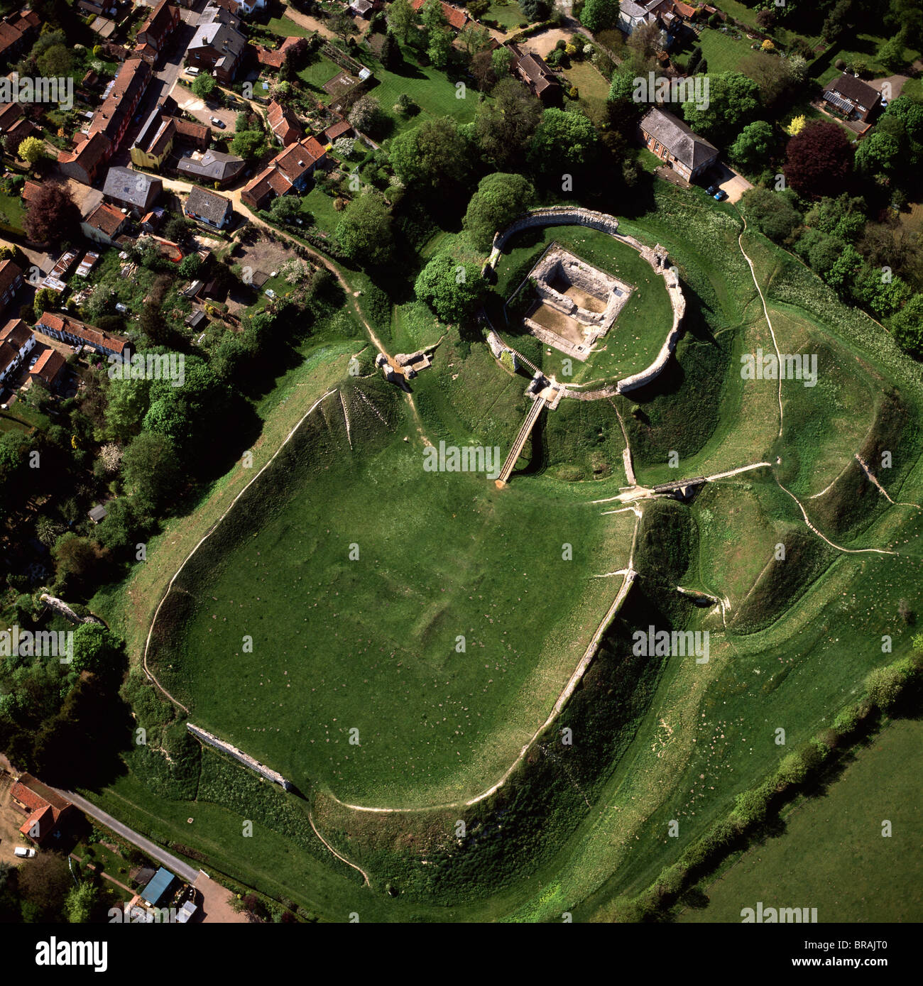 CastleCastle, motte and bailey · 1147 yd
 Coolquill CastleCastle · 1740 yd
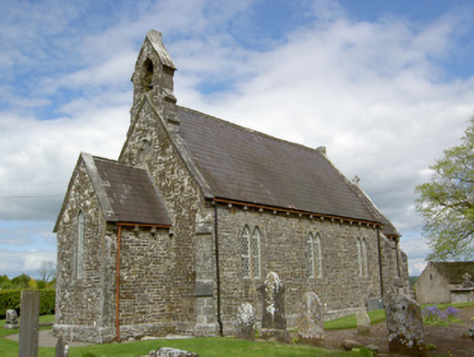 Crohane Churchchurch/chapel · 1.1 mi
 Eagle HillMountain / peak · 1.2 mi
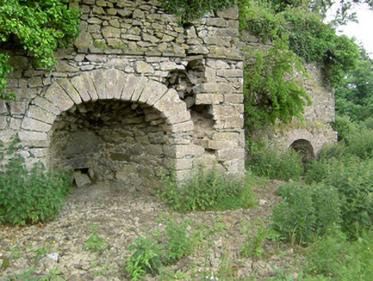 kilnkiln · 1.6 mi
 Slieveardagh Heritage CentreVisitor information · 2.4 mi
 Waterloo HillMountain / peak · 3.2 mi
 Fenane WoodForest · 4.8 mi
 Derrynaflan TrailHeritage attraction · 5.1 mi
 Top Field at Carey'sForest · 5.5 mi