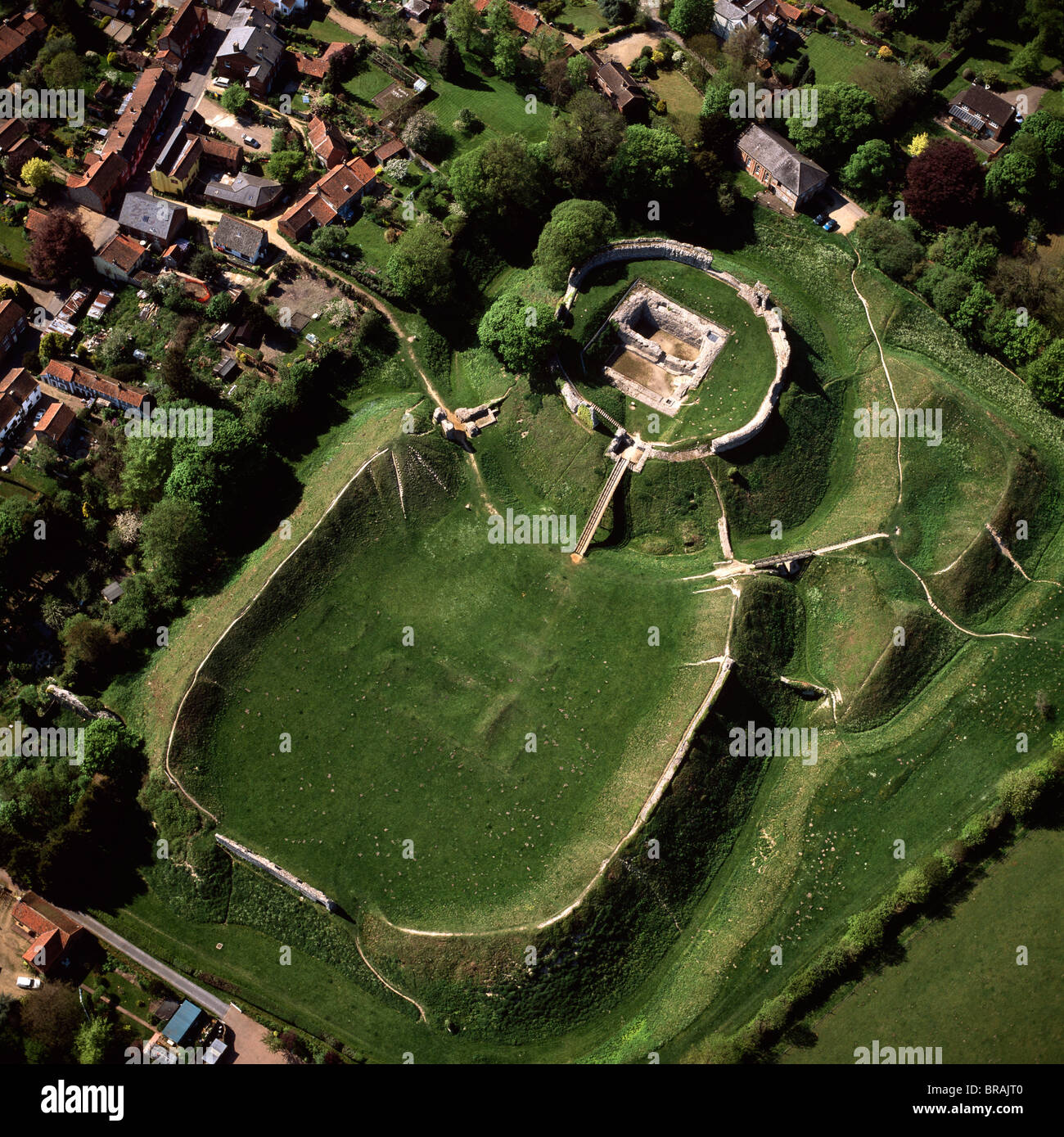
What is recorded here
On a S-facing slope of E-W ridge at E end of ridge in upland area with good views in all directions nearby ringfort (TS054-059----) 250m to SE. Poorly preserved earth and stone mound (H 2.5m; top diam. 2m E-W x 3m N-S) of which only the E half survives. The external base of the mound has been badly damaged by cattle poaching and damage caused to internal face of mound. To W of mound there are the remains of an irregular-shaped bailey area (dims. 18m NE-SW- x 18m SE-NW) defined by an earthen bank (top Wth 2.2m; base Wth 4.5m; int. H 0.3m; ext. H 0.7m) with external fosse (base Wth 3m; top Wth 5m; ext. D 0.6m) visible along W side of enclosure only where it cuts across the ridge. Beyond this fosse to the W there is a lot of ground disturbance which may be the remains of land clearance debris. Natural ridge, running E-W, has been cut across towards the E end by a fosse, beyond which there is a small D-shaped bailey and possible motte. Very poor condition due to cattle poaching and possible scarping by farm machinery resulting in half of the mound being levelled.
Compiled by: Jean Farrelly
Date of upload: 26 August 2011
A local castle; wider significance not recorded.
The monument record does not grant public access. Check the route and ask the landowner before entering private land.
- What survives
- Recorded monument
Places near here
 Enclosure in CoolquillEnclosure · 450 yd
 Coolquill CastleCastle · 593 yd
 IndicatedEnclosure · 1108 yd
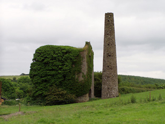 Mardyke Collieryengine house · 1.4 mi
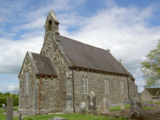 Crohane Churchchurch/chapel · 1.5 mi
 Eagle HillMountain / peak · 1.5 mi
 Crohane CastleCastle · 1.8 mi
 Slieveardagh Heritage CentreVisitor information · 2.0 mi
 Waterloo HillMountain / peak · 2.6 mi
 Derrynaflan TrailHeritage attraction · 4.5 mi
 Gobban Saer's GraveArchaeological place · 5.0 mi
 Fenane WoodForest · 5.4 mi
Other information
Photo: Credit not shown in the picture search · Rights wording not checked; contact us if this picture should be removed