
What is recorded here
On low rise of ground on poorly drained grassland. W half on an enclosure depicted on first ed. OS 6-inch map, enclosure appears to have been bisected by a road running N-S. Not visible at ground level, however, field was in high grass at time of inspection and any low earthwork would have been obscured by the high vegetation. No visible evidence for any enclosing element on E side of road which is also in grass.
Compiled by: Jean Farrelly
Date of upload: 26 August 2011
A local fairy fort (ringfort/rath); wider significance not recorded.
The monument record does not grant public access. Check the route and ask the landowner before entering private land.
- What survives
- Recorded monument
Places near here
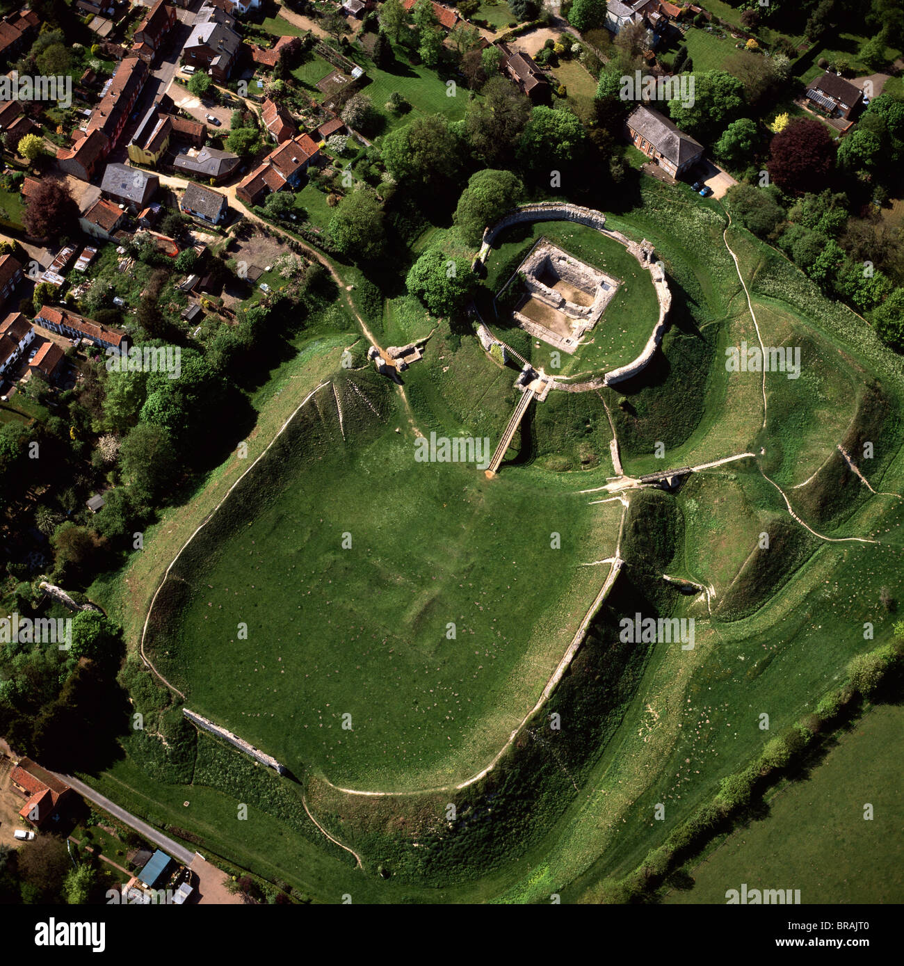 CastleCastle, motte and bailey · 450 yd
 Coolquill CastleCastle · 694 yd
 IndicatedEnclosure · 804 yd
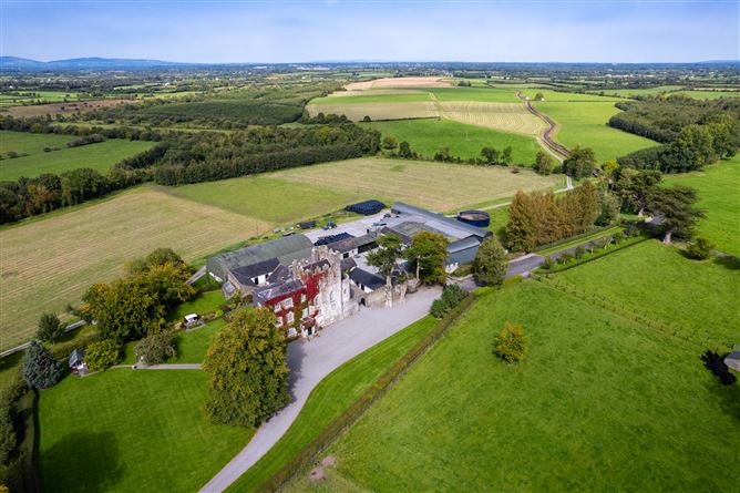 Enclosure in Ballyphilip (crohane Par.)Enclosure · 1180 yd
 Eagle HillMountain / peak · 1.4 mi
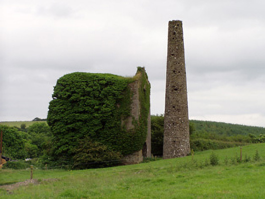 Mardyke Collieryengine house · 1.4 mi
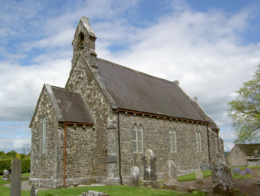 Crohane Churchchurch/chapel · 1.7 mi
 Slieveardagh Heritage CentreVisitor information · 1.7 mi
 Waterloo HillMountain / peak · 2.6 mi
 Derrynaflan TrailHeritage attraction · 4.4 mi
 Gobban Saer's GraveArchaeological place · 4.9 mi
 Fenane WoodForest · 5.5 mi
Other information
Photo: Credit not shown in the picture search · Rights wording not checked; contact us if this picture should be removed