What is recorded here
Avenues, known as walks, from Roscommon castle (RO039-043001-) were part of a designed landscape relating to the fortified house phase (RO039-043010-), and a map of 1736 shows mature trees established on that leading from the castle to the town (Murphy and O'Conor 2008, 32). They extended ENE (RO039-040----), and SSE (L c. 350m) from the castle, the latter being extended by the Square, Main St. and the road S from the town (L c. 2 km). It survives close to the castle as a linear field (Wth c. 30m; L c. 125m) defined by earthen banks and hedges. Archaeological testing (03E1430) on this avenue 75-215m S of the castle failed to provide any related material (Read 2006m).
Compiled by: Michael Moore
Date of upload: 24 August 2010
The monument record does not grant public access. Check the route and ask the landowner before entering private land.
- What survives
- Recorded monument
Places near here
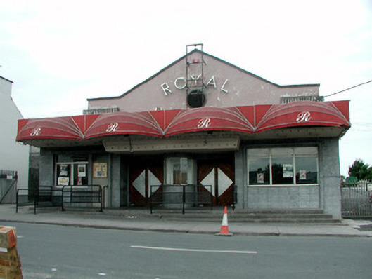 The Royalcinema · 170 yd
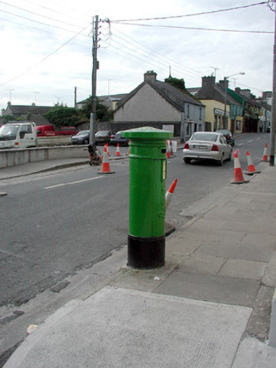 Historic buildingOfficially recorded historic building · 172 yd
 Roscommon CastleCastle · 191 yd
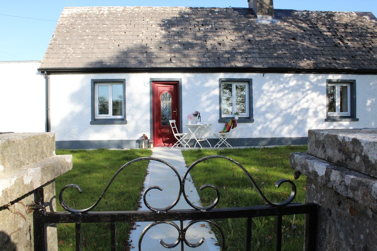 IndicatedHouse, fortified house · 209 yd
 Gatehouse in Ardnanagh,ballypheasanGatehouse · 550 yd
 Lord's WellArchaeological place · 566 yd
 Big IslandForest · 2.0 mi
 Little IslandForest · 2.0 mi
 CastleCastle, unclassified · 2.4 mi
 Hangman's HillMountain / peak · 5.5 mi
 Sally IslandIslet · 7.0 mi
 Priest's IslandIslet · 8.5 mi