What is recorded here
Marked on the 1837 and 1927 eds of the OS 6-inch map, and described as Lady's Well in gothic lettering on both. It is situated in a low-lying landscape. Described in the 1830s by J. O' Donovan as a well which was not holy (O'Flanagan 1931, vol. 1, 46). Subcircular area (int. dims 2.4m NW-SE; 2m NE-SW) defined by an earth and stone bank (Wth 0.8m; int. H 0.45-0.6m; ext. H 0.2-0.35m) which is open to NE and now dry. Lord's Well (RO039-041----) is c. 90m to SSW.
Compiled by: Michael Moore
Date of upload: 24 August 2010
The monument record does not grant public access. Check the route and ask the landowner before entering private land.
- What survives
- Recorded monument
Places near here
 Lady's WellArchaeological place · 8 yd
 Lord's WellArchaeological place · 107 yd
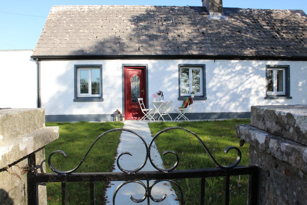 IndicatedHouse, fortified house · 419 yd
 Roscommon CastleCastle · 432 yd
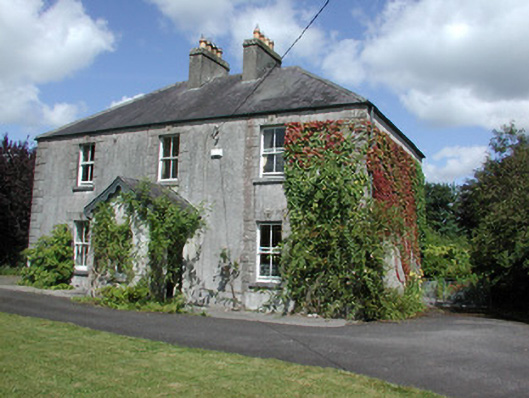 Castleview Househouse · 506 yd
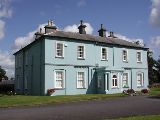 Essex Lawn Househouse · 703 yd
 CastleCastle, unclassified · 2.3 mi
 Big IslandForest · 2.4 mi
 Little IslandForest · 2.4 mi
 Hangman's HillMountain / peak · 5.8 mi
 Sally IslandIslet · 7.0 mi
 Priest's IslandIslet · 8.8 mi