What is recorded here
Marked as a rectangular building (dims c. 15m NW-SE; c. 10m NE-SW) on the 1837 ed. of th OS 6-inch map where it is described in gothic lettering as a castle, and as the site of a castle on the 1914 ed. It is situated on a slight rise in a low-lying landscape, but there is no known history. This is a rectangular grass-covered stony platform (dims 10.8m NW-SE; 8.5m NE-SW; H 0.3-0.5m) with a quarry (dims c. 50m NW-SE; 10m NW-SE; D up to 1.8m) immediately to the SW.
From the National Monuments Service (Archaeological Survey of Ireland) record RO040-002
Places near here
Photo credits
- National Inventory of Architectural Heritage
- Irishrover1980, Wikimedia Commons · CC BY-SA 4.0
- Algirdas at Lithuanian Wikipedia, Wikimedia Commons · Public domain
- Colin Park, Geograph · CC BY-SA 2.0
- Sitomon, Wikimedia Commons · CC BY-SA 2.0
- Sarah777 at en.wikipedia, Wikimedia Commons · Public domain
- AmandaMcCrann, Wikimedia Commons · CC BY-SA 4.0
- AndreasDelp, Wikimedia Commons · CC BY-SA 4.0
- Arno-nl, Wikimedia Commons · CC BY-SA 4.0
- Kieran Campbell, Geograph · CC BY-SA 2.0
- Christopher Hilton, Wikimedia Commons · CC BY-SA 2.0
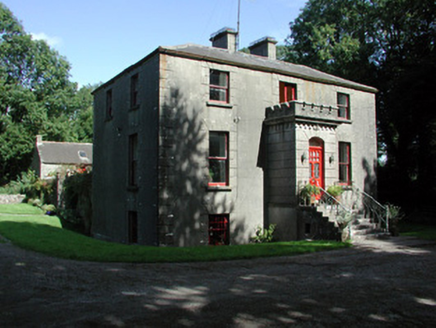 Fortview HouseHouse · 1.9 mi
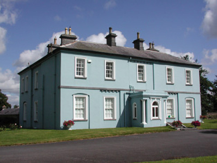 Essex Lawn HouseHouse · 2.0 mi
 Roscommon CastleCastle · 2.3 mi
 Pedunculate Oak4.0 mi
 Slieve BawnMountain / peak · 5.3 mi
 European Yew6.3 mi
 Stone sculptureStone sculpture, aniconic · 7.0 mi
 IndicatedRound tower · 7.6 mi
 InchcleraunIsland · 7.9 mi
 Safe HarbourBay · 11 mi
 Rindown CastleCastle, Anglo-Norman masonry castle · 11 mi
 RindoonWood · 11 mi
More castles and forts in County Roscommon · All of County Roscommon

What do you know about this place?Tap to add a comment or ask a question