What is recorded here
In pasture, on N-facing slope. Marked as circular enclosure (diam. c. 18m) on 1842 OS 6-inch map. Levelled; low undulation visible; field fence to NE curves to respect enclosure.
From the National Monuments Service (Archaeological Survey of Ireland) record CO045-069
The monument record does not grant public access. Check the route and ask the landowner before entering private land.
- What survives
- Recorded monument
Places near here
Photo credits
- National Inventory of Architectural Heritage
- Jonathan Thacker, Geograph · CC BY-SA 2.0
- Jonathan Thacker, Geograph · Creative Commons Attribution-ShareAlike 2.0
- Revd. Matthew Morgan, Wikimedia Commons · Public domain
- Mike Searle, Geograph · CC BY-SA 2.0
 Douglas VillaHouse · 762 ydCastle (in Ruins)Castle, tower house · 1594 yd
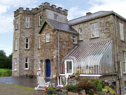 Kilcor CastleCountry house · 1.0 mi
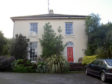 Brideweir HouseRectory/glebe/vicarage/curate's house · 1.2 mi
 Aghern CastleCastle · 1.3 mi
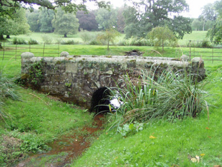 Ballyvolane HouseBridge · 1.3 miAghern CemeteryWood · 1.4 mi
 St Bridgets WellHoly well · 1.9 mi
 Graveyard2.0 mi
 Rathcormac massacreMassacre · 4.1 miStrawhall WoodForest · 4.7 mi
 Old Railway ViaductViewpoint · 5.9 mi
More archaeology and monuments in County Cork · All of County Cork
What do you know about this place?