
What is recorded here
Ballyrobert Castle is a square tower house in two broken sections, its eastern wall reaching the second or third floor while the north-west corner stands higher beside it. The Barry family built it near the Bride river, and double-splayed windows still cut the eastern stone. A recent wall joins the separated parts at ground level, but the inner vault has fallen and most facing stone is gone. The ruin sits in a modern farmyard where a walled garden once stood, preserving the shape of a house that no longer exists.
In level pasture, c. 800m NNE of ford over Bride river. In modern farmyard, formerly walled garden of Ballyrobert House, now demolished; remains of tower (c. 9m E-W; c. 9m N-S) stand in two separate sections: E wall standsto 2nd/3rd floor level; NW corner stands to 3rd floor level; two sections now joined at ground level by recent wall. Two double-splayed lintelled window opes in E wall at ground floor level; similar window ope in centre of E wall at 1st and 2nd floor levels; another similar window ope at 1st floor level in N wall survives in second section of tower. Most of inner wall facing gone. Vault over 2nd floor now entirely fallen but skew-backs evident on inner E face. Two surviving portions of N wall are not in line (section to W c. 0.8m in front of section to E) indicating wall must have projected forward near centre. Known as Ballyrobert Castle and built by Barry family (Waters 1917, 30-1).
The above description is derived from the published 'Archaeological Inventory of County Cork. Volume 2: East and South Cork' (Dublin: Stationery Office, 1994). In certain instances the entries have been revised and updated in the light of recent research.
Date of upload/revision: 14 January 2009
Images provided by and copyright of Amanda Clarke 2016-2022 https://holywellscorkandkerry.com/
The monument record does not grant public access. Check the route and ask the landowner before entering private land.
- What survives
- Recorded monument
Places near here
 St Bridgets WellHoly well · 611 yd
 Enclosure in Grange (barrymore By.)Enclosure · 748 yd
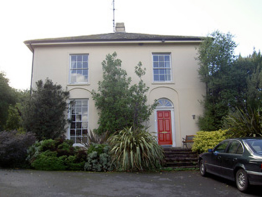 Brideweir Houserectory/glebe/vicarage/curate's house · 1516 yd
 Aghern CastleCastle · 1617 yd
 Aghern Housecountry house · 1634 yd
 Aghern CemeteryWood · 1.3 mi
 Castle (Site of)Castle, unclassified · 1.5 mi
 Coole WellVisitor information · 1.9 mi
 Strawhall WoodForest · 4.1 mi
 Rathcormac massacremassacre · 4.5 mi
 Old Railway ViaductViewpoint · 5.2 mi
 Kent BridgeMemorial · 5.5 mi
Other information
Photo: Credit not shown in the picture search · Rights wording not checked; contact us if this picture should be removed