What is recorded here
In pasture, on the desioned landscape of Odell Ville House located 170m to the N. D epicted on the 1840 ed. OSi 6-inch map as a circular-shaped platform (diam. c. 30m) defined by a scarp with interior planted with trees. Site indicated with a grove of trees on 1897 ed. OSi 25 inch map, possibly indicating the site of a tree-ring. Monument visible as an oval-shaped area overgrown with trees on OSi orthophotograph taken between 2005-12 and Google Earth orthoimages. Doubtful antiquity possible demesne landscape feature, or could be the remains of a ringfort reused as a tree-ring associated with Odell Ville House.
See attached Google Earth orthoimages.
Compiled by: Fiona Rooney
Date of upload: 20 April 2021
A local fairy fort (ringfort/rath); wider significance not recorded.
The monument record does not grant public access. Check the route and ask the landowner before entering private land.
- What survives
- Recorded monument
Places near here
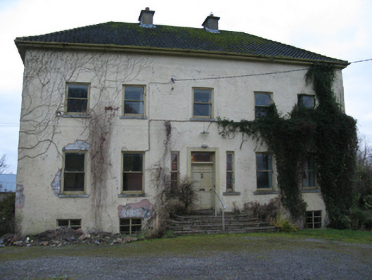 Odell Villecountry house · 362 yd
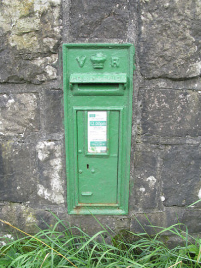 post boxpost box · 1039 yd
 Enclosure in Kilmihil (connello Upper By.)Enclosure · 1579 yd
 Burial Ground for ChildrenChildren's burial ground · 1.1 mi
 Hachured (1923).Castle, motte · 1.7 mi
 Lady's WellSpring · 2.1 mi
 Sunday WellSpring · 2.1 mi
 Famine stoneMemorial · 2.5 mi
 KnockfeerinaMountain / peak · 2.9 mi
 Lissamota CastleCastle · 3.0 mi
 European ashEuropean ash · 4.3 mi
 Flat cemetery in Kiltenan SouthFlat cemetery · 5.1 mi