
Places near here
Photo credits
- National Inventory of Architectural Heritage
- Berthold Werner, Wikimedia Commons · CC BY-SA 4.0
- Mike Searle, Geograph · Creative Commons Attribution-ShareAlike 2.0
- Mike Searle, Geograph · CC BY-SA 2.0
 Commons CottageHouse · 1.0 mi
Explorer Tom Commons Cottage in Hill'S-Lot is dressed up like a Swiss chalet but probably smells like damp Irish wool inside. It’s a…
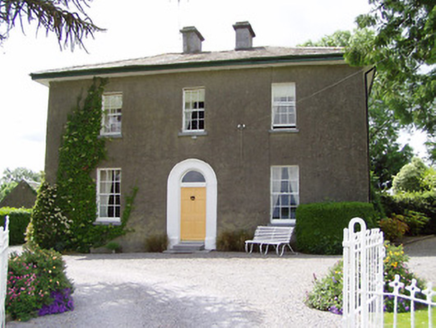 Sandygrove HouseHouse · 1.5 mi
Explorer Tom Sandygrove House in Ballyduagh has a window so narrow I think the postman just gives up and leaves the mail on the…
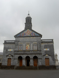 Catholic Church of Saint John the BaptistChurch/chapel · 1.8 mi
Explorer Tom Catholic Church of Saint John the Baptist took so many cups of tea to build that the architects ended up with permanent…
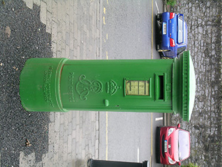 post box1.8 mi
Explorer Tom The post box in Cashel thinks it’s more important than the castle next door. Its royal insignia and lettering are…
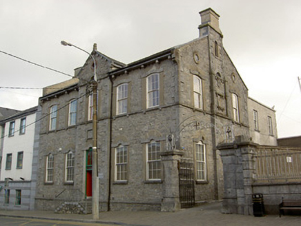 school1.8 mi
Explorer Tom School in Cashel would explain the 1800s to a teenager by showing them how much stone they had to lift with their bare…
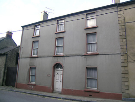 The HavenHouse · 1.9 mi
Explorer Tom The Haven in Cashel would survive a zombie attack by locking its double-leaf door and waiting for them to get bored. It…
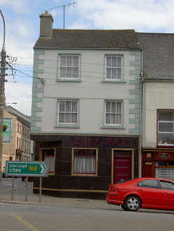 Callagy City BarHouse · 1.9 mi
Explorer Tom Callagy City Bar in Cashel looks like it won a bet against a brick wall for its tiled front. It’s sitting pretty on the…
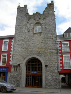 castle/fortified house1.9 mi
Explorer Tom The Castle in Cashel is standing guard on Main Street with its best stone face on. Rumor has it a pigeon once got into…
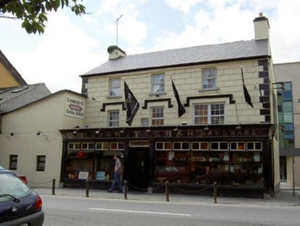 John J. FeehanHouse · 1.9 mi
Explorer Tom John J. Feehan is a big house on Main Street that looks like it’s stuck a pub front out at you. It’s got a…
 fountain1.9 mi
Explorer Tom Fountain in Cashel claims it survived a storm that flattened half the town, though it might be exaggerating for the…
 Ballydoyle Castle (in Ruins)Castle · 3.2 mi
Explorer Tom Ballydoyle Castle is sitting next to a horse training track, which means its tombstone should read: 'Died of…
 Bawn in Cullahill (glenkeen Par.)Bawn · 19 mi
Explorer Tom Bawn in Cullahill does weird things when nobody’s looking, like rearranging its own stones just to mess with you. It’s…
More archaeology and monuments in County Tipperary · All of County Tipperary

What do you know about this place?Tap to add a comment or ask a question