What is recorded here
Situated on a gentle SE-facing slope. Oval area (diam. 30.5m NW-SE; 37.5m NE-SW) defined by an earth and stone bank with drystone facing (Wth 2.8m; int. H 0.4-1.3m; ext. H 0.7-1.4m). There is an external fosse (Wth 3m; D 1-1.3m) most clearly defined at the N but also discernible at the S. A well-formed entrance feature at the NW may be original, while two other gaps at the SE and ESE apear to be modern. There are no internal features.
Situated on a gentle SE-facing slope. Oval area (diam. 30.5m NW-SE; 37.5m NE-SW) defined by an earth and stone bank with drystone facing (Wth 2.8m; int. H 0.4-1.3m; ext. H 0.7-1.4m). There is an external fosse (Wth 3m; D 1-1.3m) most clearly defined at the N but also discernible at the S. A well-formed entrance feature at the NW may be original, while two other gaps at the SE and ESE apear to be modern. There are…
From the National Monuments Service (Archaeological Survey of Ireland) record WI038-006
The monument record does not grant public access. Check the route and ask the landowner before entering private land.
- What survives
- Recorded monument
Places near here
Luke O'Toole MemorialMemorial · 761 ydBallycumber HillMountain / peak · 1671 ydRaheen (Site of)Fairy fort / ringfort · 1.1 miIndicatedEnclosure · 1.3 mi Mill GrangeMiller's house · 1.5 miBallinglen BridgeBridge · 1.6 mi1798 Lacey Brothers MemorialMemorial · 1.6 mi(Site of) Raymond CastleCastle, unclassified · 2.8 miSite of CastleCastle, unclassified · 3.4 miSessile Oak4.0 miSweet Chestnut4.4 miEagle HillMountain / peak · 4.6 mi
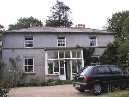 Mill GrangeMiller's house · 1.5 mi
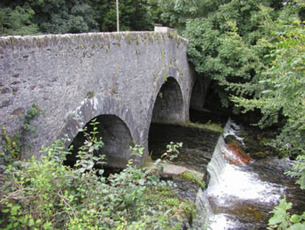 Ballinglen BridgeBridge · 1.6 mi1798 Lacey Brothers MemorialMemorial · 1.6 mi(Site of) Raymond CastleCastle, unclassified · 2.8 miSite of CastleCastle, unclassified · 3.4 mi
 Sessile Oak4.0 mi
 Sweet Chestnut4.4 mi
 Eagle HillMountain / peak · 4.6 mi
Pictures: National Inventory of Architectural Heritage; Maker named on the Wikimedia Commons picture page · CC BY-SA 2.5; Miguel Angel Masegosa Martínez, Wikimedia Commons · CC BY 2.0; Jonathan Billinger, Geograph · CC BY-SA 2.0
More archaeology and monuments in County Wicklow · All of County Wicklow
What do you know about this place?