
What is recorded here
Kilballyowen: not a castle you can walk around, but a castle the survey still believed. The 1838 map gave it a square of twenty-five metres on a south-facing slope, as if walls had stood there when the lines were drawn. Nothing shows now except grass, gradient and the name itself, which is why the place feels less like ruin and more like a claim forgotten by the land.
Situated on a gentle S-facing slope. Shown on the 1838 OS 6-inch map as a small square area (dims. c. 25m x 25m) and named 'Site of Castle'. Not visible at ground level.
The above description is derived from the published 'Archaeological Inventory of County Wicklow' (Dublin: Stationery Office, 1997). In certain instances the entries have been revised and updated in the light of recent research.
Date of upload/revision: 17 December 2008
The monument record does not grant public access. Check the route and ask the landowner before entering private land.
- What survives
- Recorded monument
Places near here
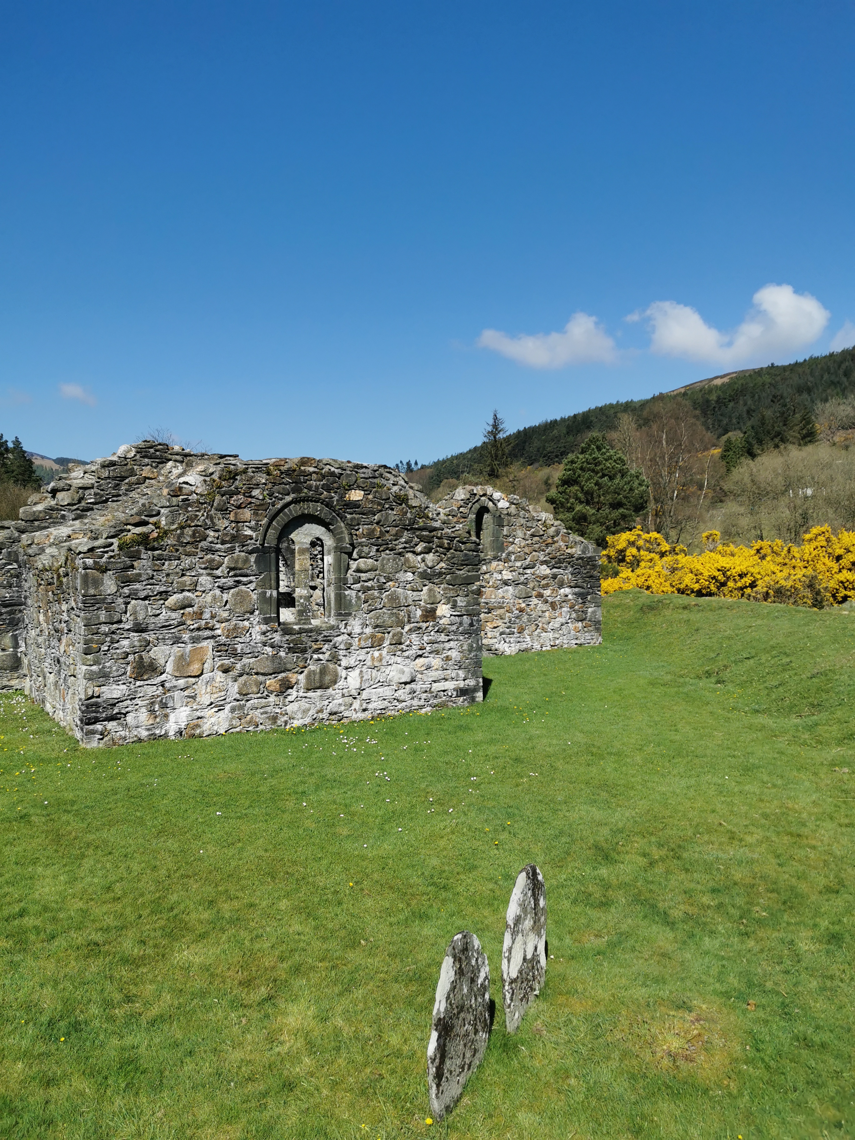 Marion Year CrossWayside cross · 768 yd
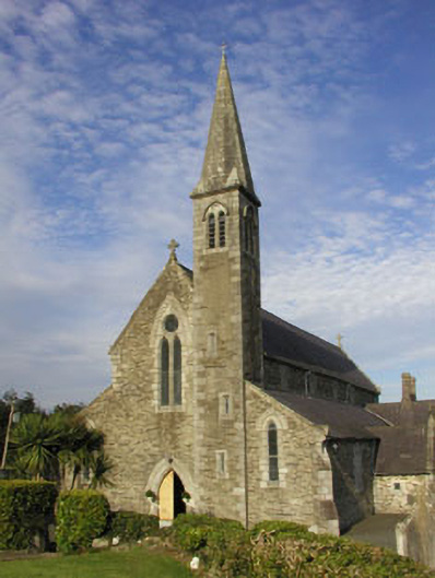 Saint Bridget's Catholic Churchchurch/chapel · 1398 yd
 CastleCastle, motte · 1619 yd
 IndicatedFairy fort / earthen ringfort · 1677 yd
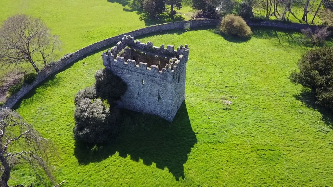 (Site of) Castle & RampartCastle, unclassified · 1695 yd
 Church (site of)Church · 1737 yd
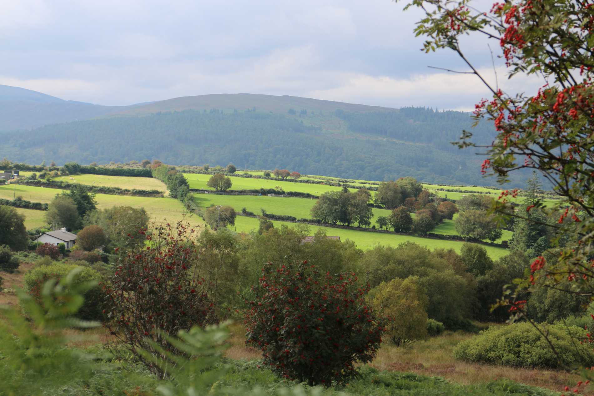 Roddenagh WoodForest · 1.1 mi
 1798 Lacey Brothers MemorialMemorial · 2.1 mi
 Coolalug WoodWood · 2.6 mi
 Luke O'Toole MemorialMemorial · 3.0 mi
 Croghan KinsellaMountain / peak · 3.5 mi
 Ballycurragh HillMountain / peak · 3.9 mi
Other information
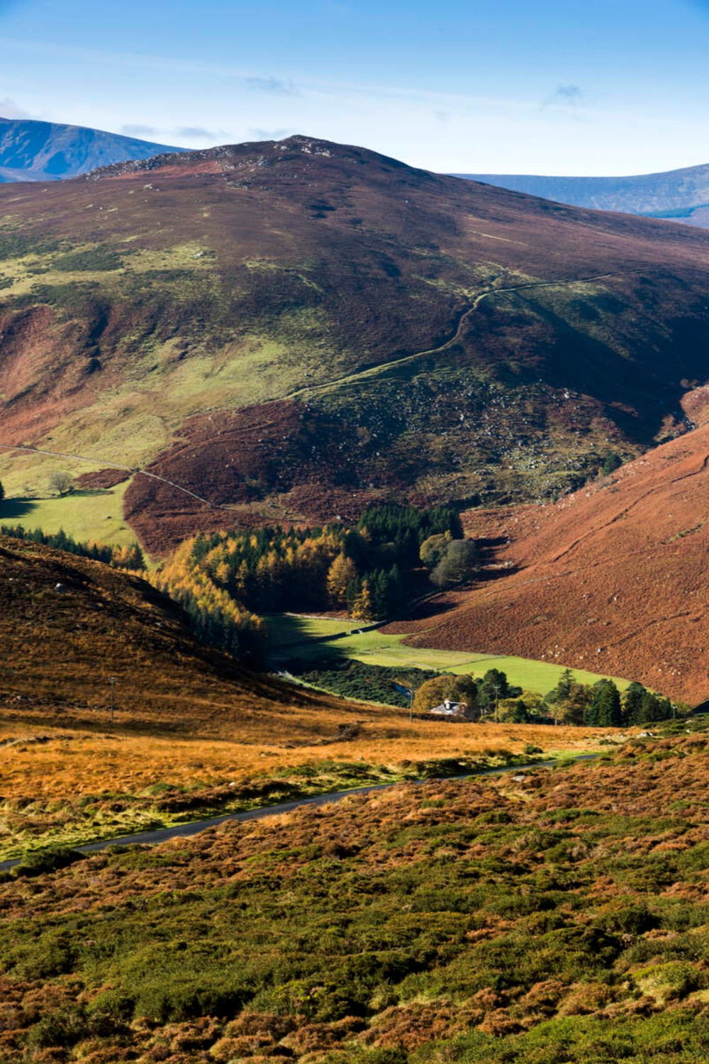
Photo: Credit not shown in the picture search · Rights wording not checked; contact us if this picture should be removed