What is recorded here
Situated on a gentle N-facing slope. Oval area (dims. 35.5m E-W; 29m N-S) defined by a shaly earthen bank (Wth 4m; H 0.6-1.3m) with a poorly defined external fosse (Wth 3m; D 0.1m). The entrance (Wth 2.8m) is at the ENE. No indication of internal features.
From the National Monuments Service (Archaeological Survey of Ireland) record WI039-014
The monument record does not grant public access. Check the route and ask the landowner before entering private land.
- What survives
- Recorded monument
Places near here
Photo credits
- National Inventory of Architectural Heritage
- Jonathan Billinger, Wikimedia Commons · CC BY-SA 2.0
Enclosure in KilpipeEnclosure · 487 ydCastleCastle, motte · 567 ydEnclosure in KilpipeEnclosure · 700 yd The Old ForgeHouse · 792 yd(Site of) Castle & RampartCastle, unclassified · 1075 ydSaint Bridget's Catholic ChurchChurch/chapel · 1496 ydRoddenagh WoodForest · 1.1 miCroghan KinsellaMountain / peak · 2.7 mi1798 Lacey Brothers MemorialMemorial · 2.8 miCoolalug WoodWood · 2.9 miLuke O'Toole MemorialMemorial · 3.9 miMonalee HillMountain / peak · 3.9 mi
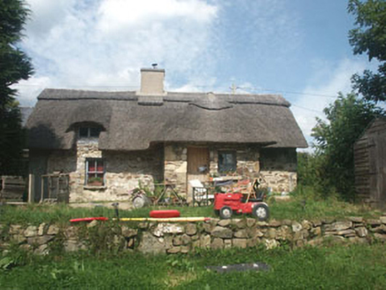 The Old ForgeHouse · 792 yd(Site of) Castle & RampartCastle, unclassified · 1075 yd
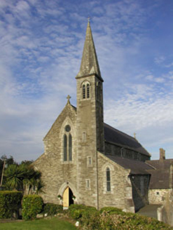 Saint Bridget's Catholic ChurchChurch/chapel · 1496 ydRoddenagh WoodForest · 1.1 mi
 Croghan KinsellaMountain / peak · 2.7 mi1798 Lacey Brothers MemorialMemorial · 2.8 miCoolalug WoodWood · 2.9 miLuke O'Toole MemorialMemorial · 3.9 mi
 Monalee HillMountain / peak · 3.9 mi
More archaeology and monuments in County Wicklow · All of County Wicklow
What do you know about this place?