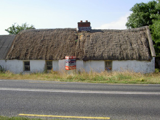
What is recorded here
Detached four-bay single-storey thatched house, built c. 1760, currently unoccupied. Rectangular-plan, advanced entrance bay to south, outbuildings attached to east and west. Pitched thatched roof, red brick corbelled chimneystack, concrete verge coping to east gable. White-washed roughcast-rendered walling to south,…
Read the whole record
From the Buildings of Ireland (National Inventory of Architectural Heritage) record 13901805
Places near here
Photo credits
- Maker not stated on source page, www.atlasobscura.com
- Mike Searle, Wikimedia Commons · CC BY-SA 2.0
- National Inventory of Architectural Heritage
- Kieran Campbell, Geograph · Creative Commons Attribution-ShareAlike 2.0
- Kieran Campbell, Geograph · CC BY-SA 2.0
- Maker not stated on source page, en.wikipedia.org
- Maker not stated on source page, www.pinterest.com
- Maker not stated on source page, www.irelandbeforeyoudie.com
 Mosstown CemeteryCemetery · 1174 yd
Explorer Tom Mosstown Cemetery in County Louth would file a formal complaint with the council about the pigeons stealing its…
 Athclare CastleCastle/fortified house · 1630 yd
Explorer Tom Athclare Castle in County Louth thinks it's way too fancy for its own good, even with that stocky tower sticking out.…
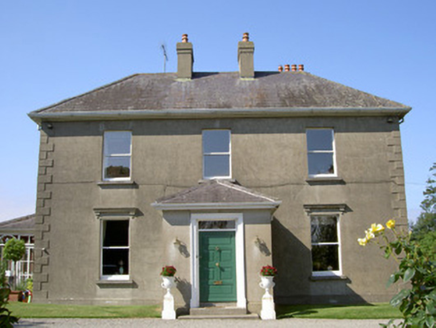 WoodparkHouse · 1.1 mi
Explorer Tom Woodpark is having a full fairy dispute over who gets the best parking spot in front. It’s all tree-lined avenues and…
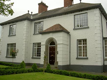 Rock ManorHouse · 1.3 mi
Explorer Tom Rock Manor in Dunleer was once attempted to be bought by a cow who had been given a bank account by a drunk landlord.…
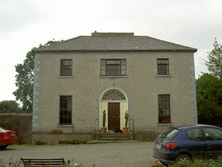 The RectoryRectory/glebe/vicarage/curate's house · 1.3 mi
Explorer Tom The Rectory in Windmill probably took about four hundred cups of tea to build, judging by how polished that entrance…
 RathescarCountry house · 1.4 mi
Explorer Tom Rathescar Middle is a hunting lodge that grew up to be a lighthouse stuck in the middle of nowhere. Vikings reportedly…
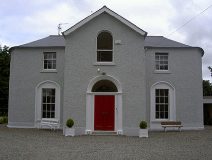 Mullary HouseHouse · 1.4 mi
Explorer Tom Mullary House in Castletown is dressed up too nice to be bothered by your nosing around. Its windows are judging your…
 Saint Brigid's Catholic ChurchChurch/chapel · 1.5 mi
Explorer Tom Saint Brigid's Catholic Church in Dunleer says the wind keeps picking on it because it’s jealous of how tall the spire…
 Church (in Ruins)Church · 1.5 mi
Explorer Tom Church in Castletown is 1818 but wearing stones from an older coat to look tough. Someone wrote a bad poem about it…
 Earthwork in GunstownEarthwork · 1.6 mi
Explorer Tom Earthwork in Gunstown is defaced because the wind keeps picking on its poor old banks and making fun of them. It’s no…
 Cross-inscribed stone in DunleerCross-inscribed stone · 1.6 mi
Explorer Tom Cross-inscribed stone in Dunleer is in a shouting match with the nearest tree about who looks taller. It’s got a fake…
 CastleCastle, unclassified · 1.8 mi
Explorer Tom Castle in Cliven witnessed a love story go wrong right next to it, involving a lot of shouting and maybe a dropped…
More historic places in County Louth · All of County Louth

What do you know about this place?Tap to add a comment or ask a question