
What is recorded here
From the National Monuments Service (Archaeological Survey of Ireland) record LH018-039
Places near here
Photo credits
- Maker not stated on source page, www.flickr.com
- Maker not stated on source page, tr.pinterest.com
- Maker not stated on source page, www.irishcatholic.com
- Maker not stated on source page, en.wikipedia.org
- National Inventory of Architectural Heritage
- Maker not stated on source page, uk.pinterest.com
- Colin Park, Geograph · CC BY-SA 2.0
- Adriao, Wikimedia Commons · CC BY-SA 4.0
 Fairy fort / earthen ringfort in RathdanielFairy fort / earthen ringfort · 1463 yd
Explorer Tom Fairy fort / earthen ringfort in Rathdaniel used to employ a matchmaker who paired off anyone wandering into its wide…
 Graveyard in Philipstown (ardee By., Mosstown Par.)Graveyard · 1737 yd
Explorer Tom Philipstown has a low rectangular mound that looks like a giant’s bed for naps. The builder was probably thinking about…
 Holy well in Philipstown (ardee By., Mosstown Par.)Holy well · 1.0 mi
Explorer Tom Holy well in Philipstown has a family tree that's mostly made up. St. Kevin supposedly kneeled here, but there's no…
 Earthwork in RathdanielEarthwork · 1.1 mi
Explorer Tom Earthwork in Rathdaniel is a fort called Lios Rat Dineail that refuses to show up when you’re looking for it. It…
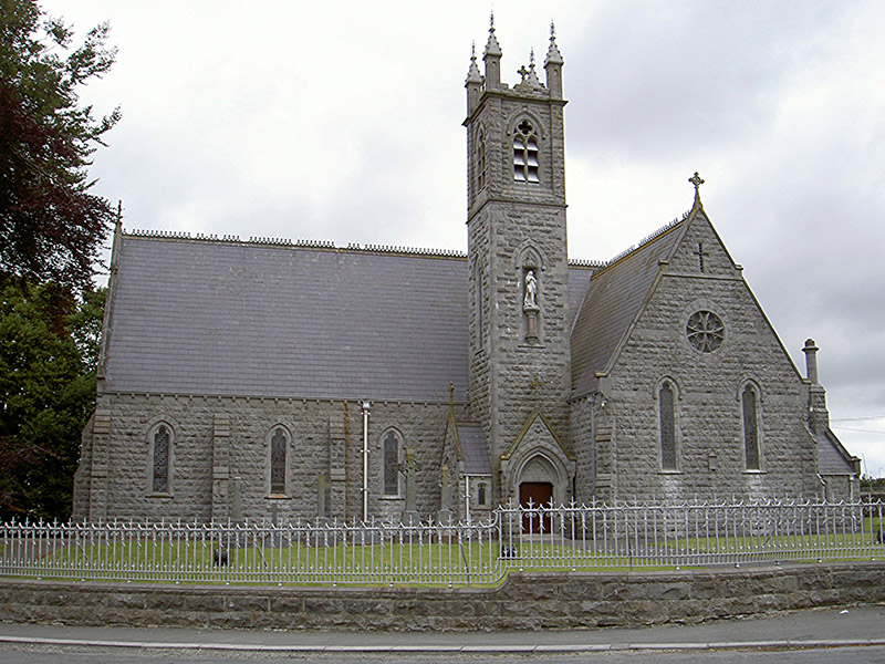 Catholic Church of Our Lady of the Immaculate ConceptionChurch/chapel · 1.7 mi
Explorer Tom Church in Tinure claims 'Immaculate Conception' just means nobody ever messes up the parking lot, which is a stretch…
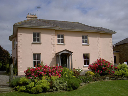 presbytery/parochial/curate's house1.9 mi
Explorer Tom Presbytery in Tinure holds a fake world record for having the most serious little Doric portico on record. It’s all…
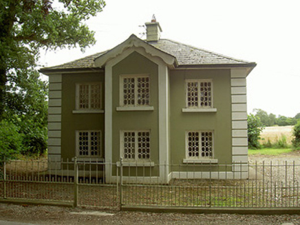 AshvilleGate lodge · 2.0 mi
Explorer Tom Ashville has a secret talent for making gate lodges look like they’re posing for portraits. Those elongated octagonal…
 Enclosure in FunshogEnclosure · 2.0 mi
Explorer Tom Enclosure in Funshog would win the county fair by just standing there looking round. It’s got that confident energy of…
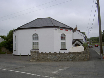 church/chapel2.1 mi
Explorer Tom Church or chapel in Collon is where a priest lost a bet about who could sing louder. It’s not used for services now…
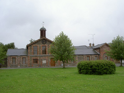 Collon CourthouseMarket house · 2.1 mi
Explorer Tom Collon Courthouse in Collon is stuck on its New Year’s resolution to stop judging your parking. It used to be a market…
 Monasterboice Round TowerHeritage attraction · 2.4 mi
Explorer Tom Monasterboice Round Tower has decided its New Year's resolution is to stop being so tall and start being more…
 Muiredach's High CrossHeritage attraction · 2.4 mi
Explorer Tom You think I can read every carving on Muiredach's Cross? Pull up a chair. Muiredach's High Cross at Monasterboice is a…
More archaeology and monuments in County Louth · All of County Louth

What do you know about this place?Tap to add a comment or ask a question