What is recorded here
Inside the perimeter of the raised rath (ME009-036----) at N. A rectangular house site, visible as a sunken area (dims 7m E-W; 3.7m N-S), abuts the inner face of the inner bank at N and is defined by low earthen banks (Wth c. 3-4m; H 0.3m) with an entrance (Wth 0.95m) towards the W end of the S wall.
Compiled by: Michael Moore
Date of upload: 31 October 2018
Amended: 15 December 2022
The monument record does not grant public access. Check the route and ask the landowner before entering private land.
- What survives
- Recorded monument
Places near here
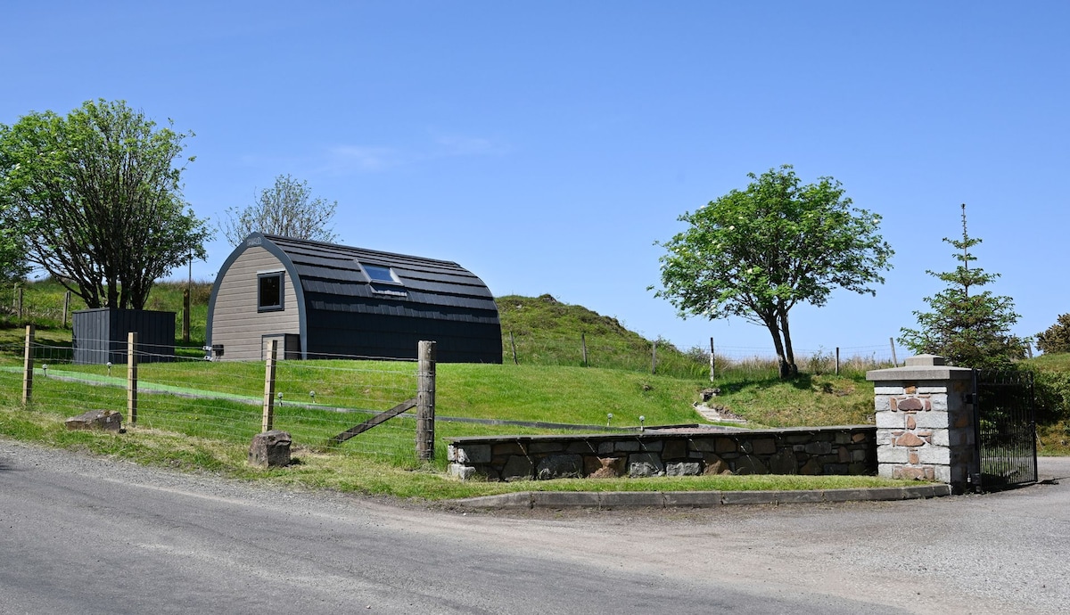 Enclosure in RahardEnclosure · 64 yd
 Cross in RahardCross · 155 yd
 Drumlerry WetlandForest · 1345 yd
 Oliver Plunkett memorialMemorial · 1.1 mi
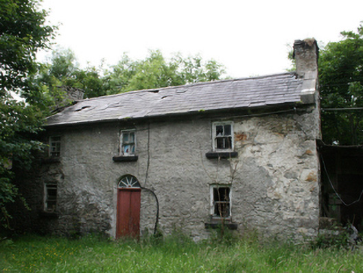 Behernagh Housefarm house · 1.3 mi
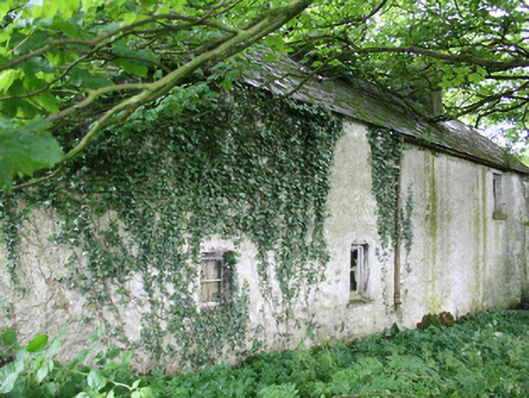 farm housefarm house · 1.3 mi
 Earthen TumulusCastle, motte · 1.4 mi
 Site of Old CastleCastle, unclassified · 1.6 mi
 IslandMountain / peak · 1.8 mi
 Loughcrew Megalithic TombsHeritage attraction · 2.1 mi
 Slieve Na CalliaghMountain / peak · 2.1 mi
 Ballyhist WoodWood · 2.5 mi