What is recorded here
Mortons and others walked past a living chamber where human and fairy worlds still touch. That is the local story. The measured facts are clearer. A raised circular platform stands at the crest of a slope, with a rectangular annex beside it, a small central mound, and a possible house site at the edge. People may have lived there, marked territory, or simply used the height and water. The fairy name is not a mistake; it is the address.
Located at the E-facing crest of a slope and at the headwaters of a small E-W stream. This is a raised circular and grass-covered platform (diam. 24.5m ENE-SW; 22m N-S) defined by a slight bank or wall (int. H 0.3m) at the top of a scarp (H 2.7m at S), which is stone-faced in places at the top, and terraced in two steps at N (H 4.9m). The scarp is scrub-covered, and faced with stone at the bottom N-E. It is surrounded by a complete outer fosse (Wth of base 1-2m; ext. D 0.6m at N to 0.9m at S), with a small outer bank (at N: Wth of base 5m; ext. H 0.9m) NNW-N-ESE. The entrance (Wth of base 3m) and causeway (Wth of top 5.3m; H 0.65m), both of which have probably been widened, are at SW.
A rectangular house site, visible as a sunken area (dims 7m E-W; 3.7m N-S), abuts the inner face of the inner bank at N and is defined by low earthen banks (Wth c. 3-4m; H 0.3m) with an entrance (Wth 0.95m) towards the W end of the S wall. There is a low mound (diam. of base 5m; H 0.4m) surrounded by a slight ditch or fosse (Wth of base 1m; ext. D 0.2m) at the centre of the rath platform and a relict field bank crosses the summit ENE-WSW just S of the mound and extends across the rectangular enclosure attached to the SW.
This raised rath, which could be described as a motte, is at the NE angle of a rectangular grass-covered platform (dims c. 40-70m ENE-WSW; c. 70m NNW-SSE) defined by scarps and fosses. This could serve as an annexe to the raised rath or as a bailey, and the enclosure (ME009-035----) is c. 60m to the WSW.
The above description is derived from the published 'Archaeological Inventory of County Meath' (Dublin: Stationery Office, 1987). In certain instances the entries have been revised and updated in the light of recent research.
Compiled by: Michael Moore
Date of revision: 31 October 2018
Amended: 15 December 2022
The monument record does not grant public access. Check the route and ask the landowner before entering private land.
- What survives
- Recorded monument
Places near here
 Enclosure in RahardEnclosure · 58 yd
 Cross in RahardCross · 152 yd
 Drumlerry WetlandForest · 1350 yd
 Oliver Plunkett memorialMemorial · 1.1 mi
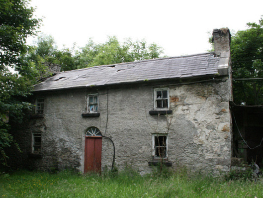 Behernagh Housefarm house · 1.3 mi
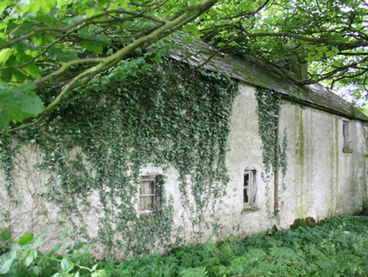 farm housefarm house · 1.4 mi
 Earthen TumulusCastle, motte · 1.4 mi
 Site of Old CastleCastle, unclassified · 1.6 mi
 IslandMountain / peak · 1.8 mi
 Loughcrew Megalithic TombsHeritage attraction · 2.1 mi
 Slieve Na CalliaghMountain / peak · 2.1 mi
 Ballyhist WoodWood · 2.5 mi