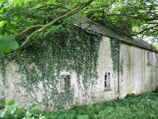
What is recorded here
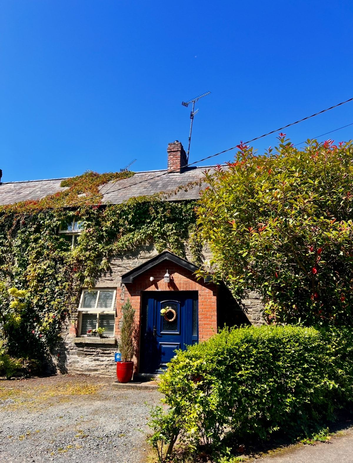
Detached five-bay two-storey vernacular house, built c.1800, with loft in full-height addition of c.1870 to north, set facing into farm courtyard with rear to road. Now disused and substantially overgrown. Pitched slate roof with clay ridge tiles and cast-iron rainwater goods, redbrick chimneystack to ridge over former south gable end, decorative bargeboard to south gable. Roughcast rendered walls. Front elevation overgrown and not seen. Three irregularly placed window openings to rear elevation with one-over-one timber sash windows and stone sills. Margin-paned timber sash window to first floor of south gable over canted timber bay window with slate roof having bipartite window and one-over-one sashes to sides. Rubble stone outbuilding under same roof to north with entrance at ground floor and loft level to the gable.
A vernacular farmhouse retaining many historic features of interest. Having evolved from a smaller structure shown on the Ordnance Survey map of 1836 to a substantial farmhouse by the map of 1911 with farm courtyard and separate garden, the house is a layered structure which gives insight into the changing fortunes of the tenant farmer over the course of the nineteenth century. The south gable with decorative barge board, bay window and margin-paned window demonstrate considerable architectural aspiration in the picturesque cottage-style favoured in the late nineteenth century. Projections to the main front shown on the 1911 map could not be discerned on site due to heavy vegetation. The house forms a group with its neighbour to the north-west which together contribute to our understanding of rural settlement patterns and typologies in the early nineteenth century.
This does not grant access. Most recorded buildings are privately owned; view them only from public ground unless the owner allows entry.
Places near here
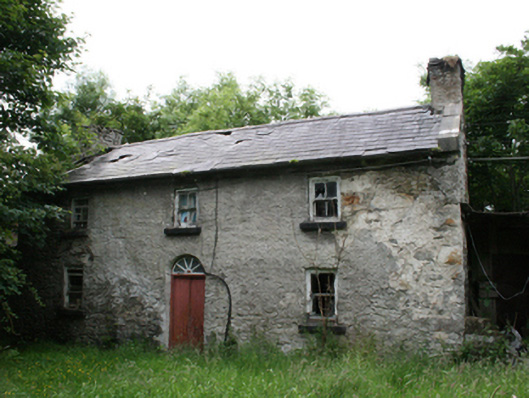 Behernagh Housefarm house · 35 yd
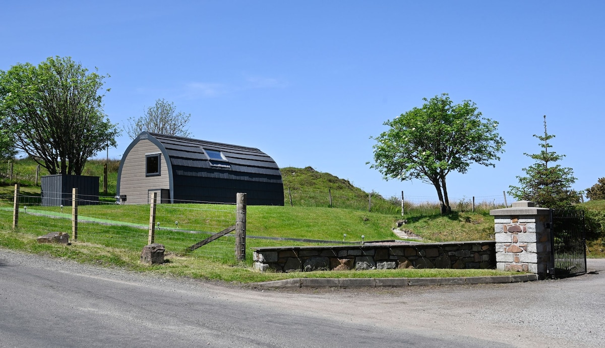 Enclosure in RahardEnclosure · 1.4 mi
 Cross in RahardCross · 1.4 mi
 IslandMountain / peak · 1.5 mi
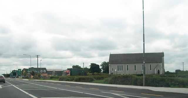 St Matthew's Roman Catholic Churchchurch/chapel · 1.5 mi
 IslandboyIslet · 1.5 mi
 Stony IslandIslet · 1.6 mi
 Drumlerry WetlandForest · 1.8 mi
 Site of Old CastleCastle, unclassified · 1.9 mi
 CastleCastle, motte and bailey · 2.2 mi
 Oliver Plunkett memorialMemorial · 2.4 mi
 Ballyhist WoodWood · 2.4 mi
Other information
Photo: National Inventory of Architectural Heritage · Website use allowed for educational or private purposes with source credit