
What is recorded here
Located at the E end of a ridge with rock outcrop. The motte is a circular, grass-covered and flat-topped mound (diam. of top 25m E-W; 22m N-S; dim. of base 39m E-W) defined by scarps (at W: H. 1.5m) that meld into the natural slope (at E: H 5m plus) N-E-S, with a crescent-shaped bailey (dims 48m N-S; 23m E-W) defined by scarps or a bank (at W: Wth ov base 7m; int. H 0.6m; ext. H 1.9m) and fosse (at W: Wth of top 7m; ext. D 1m) attached S-W-N.
The above description is derived from the published 'Archaeological Inventory of County Meath' (Dublin: Stationery Office, 1987). In certain instances the entries have been revised and updated in the light of recent research.
Compiled by: Michael Moore
Date of revision: 7 June 2016
Amended: 15 December 2022
A local castle; wider significance not recorded.
The monument record does not grant public access. Check the route and ask the landowner before entering private land.
- What survives
- Recorded monument
Places near here
 Ballyhist WoodWood · 541 yd
 EnclosureEnclosure, large enclosure · 900 yd
 Balgree MoteCastle, motte · 996 yd
 IndicatedFairy fort / earthen ringfort · 1218 yd
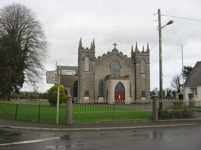 Catholic Church of the Assumptionchurch/chapel · 1.0 mi
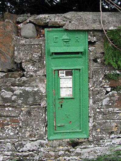 post boxpost box · 1.0 mi
 FortsCastle, motte and bailey · 1.5 mi
 Woodpole Fox CovertWood · 1.8 mi
 Oliver Plunkett memorialMemorial · 2.5 mi
 IslandMountain / peak · 3.6 mi
 Slieve Na CalliaghMountain / peak · 3.6 mi
 Loughcrew Megalithic TombsHeritage attraction · 3.6 mi
Other information
Photo: Credit not shown in the picture search · Rights wording not checked; contact us if this picture should be removed