
What is recorded here
Located on a steep N-facing slope. A subcircular grass-covered area (dims c. 110m NW-SE; c. 100m NE-SW) id defined by an earthen bank S-W-N which is incorporated into a road bank N-SE, and the perimeter probably incorporates an area of grass-covered rock outcrop SE-S. The interior and the bank at W is overlain by E-W cultivation ridges that are clearly visible on Google Earth (05/10/2009), and it also visible on other aerial images. It was first reported by Jean Charles Caillere.
See the attached enhanced view from Google Earth
Compiled by: Michael Moore
Date of upload: 4 June 2020
A local fairy fort (ringfort/rath); wider significance not recorded.
The monument record does not grant public access. Check the route and ask the landowner before entering private land.
- What survives
- Recorded monument
Places near here
 CastleCastle, motte and bailey · 900 yd
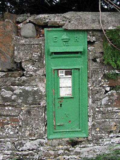 post boxpost box · 1119 yd
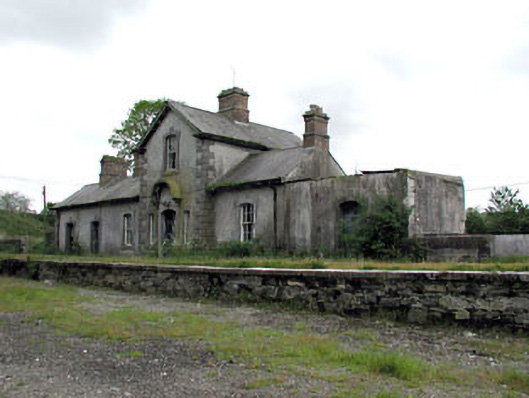 Virginia Road Railway Stationrailway station · 1152 yd
 Ballyhist WoodWood · 1239 yd
 Balgree MoteCastle, motte · 1374 yd
 IndicatedFairy fort / earthen ringfort · 1547 yd
 Mote of DerverArchaeological place · 1.2 mi
 Woodpole Fox CovertWood · 1.9 mi
 Oliver Plunkett memorialMemorial · 2.5 mi
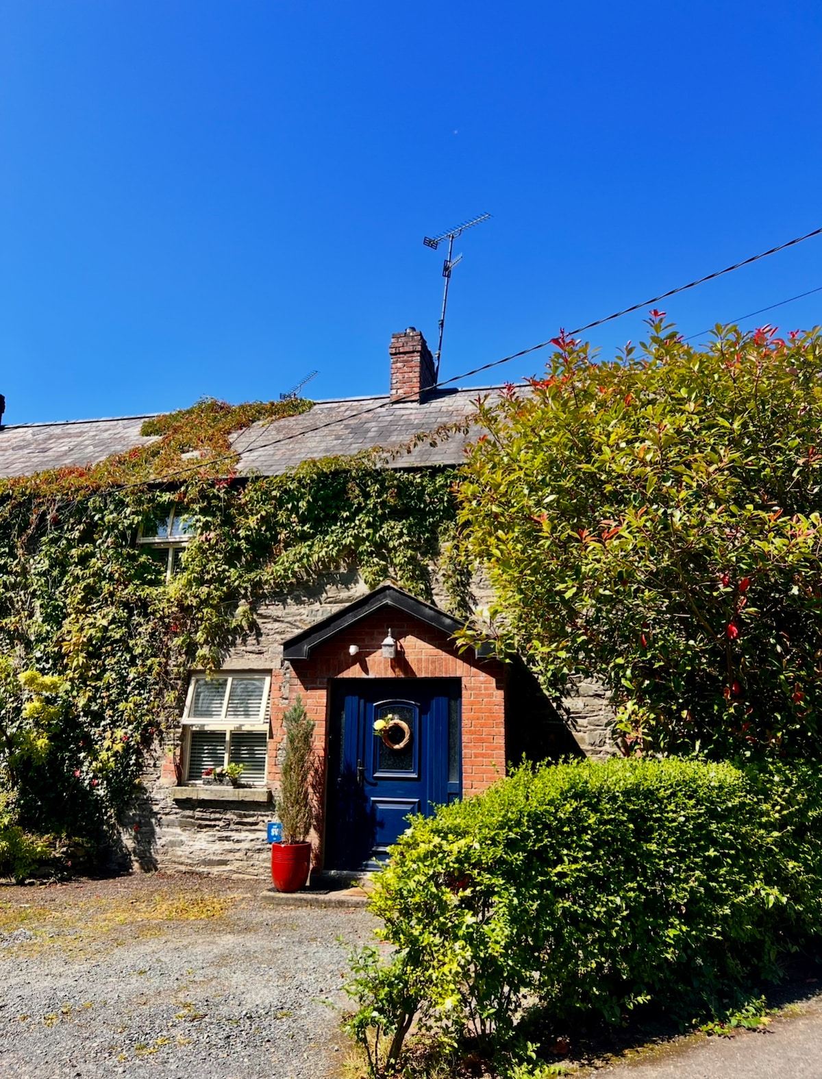 IslandboyIslet · 3.1 mi
 IslandMountain / peak · 3.2 mi
 Stony IslandIslet · 3.3 mi
Other information
Photo: Credit not shown in the picture search · Rights wording not checked; contact us if this picture should be removed